
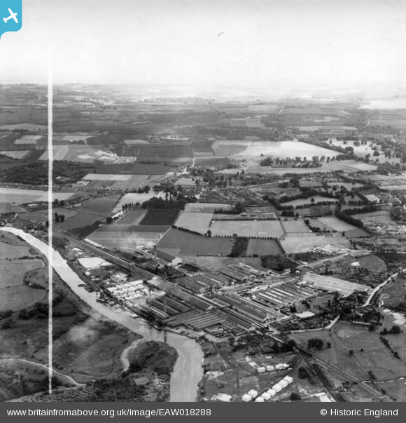
EAW018288 ENGLAND (1948). The Aylesford Paper Mills, Ditton, from the north-east, 1948. This image has been produced from a print marked by Aerofilms Ltd for photo editing.
© Copyright OpenStreetMap contributors and licensed by the OpenStreetMap Foundation. 2026. Cartography is licensed as CC BY-SA.
Nearby Images (16)
EAW018288

EAW018287

EAW001976

EAW001973

EAW001980

EAW001975

EAW001979

EPW045997

EPW045998

EPW046000

EPW045999

EAW001972

EAW001977

EPW046001

EAW001974

EAW018284

Details
| Title | [EAW018288] The Aylesford Paper Mills, Ditton, from the north-east, 1948. This image has been produced from a print marked by Aerofilms Ltd for photo editing. |
| Reference | EAW018288 |
| Date | 20-August-1948 |
| Link | |
| Place name | DITTON |
| Parish | DITTON |
| District | |
| Country | ENGLAND |
| Easting / Northing | 571271, 159577 |
| Longitude / Latitude | 0.45757128955078, 51.308993435231 |
| National Grid Reference | TQ713596 |
Pins
Be the first to add a comment to this image!