
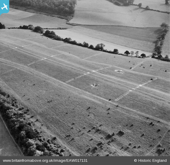
EAW017131 ENGLAND (1948). Farthing Downs, Coulsdon, 1948
© Copyright OpenStreetMap contributors and licensed by the OpenStreetMap Foundation. 2025. Cartography is licensed as CC BY-SA.
Nearby Images (7)
EAW017131

EAW017129

EAW017132

EAW017130

EAW017128

EAW017133

EAW017134

Details
| Title | [EAW017131] Farthing Downs, Coulsdon, 1948 |
| Reference | EAW017131 |
| Date | 6-July-1948 |
| Link | |
| Place name | COULSDON |
| Parish | |
| District | |
| Country | ENGLAND |
| Easting / Northing | 530112, 157343 |
| Longitude / Latitude | -0.13344527085363, 51.299816300194 |
| National Grid Reference | TQ301573 |
Pins
Be the first to add a comment to this image!