
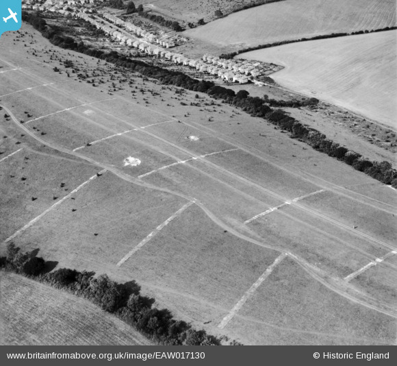
EAW017130 ENGLAND (1948). Farthing Downs, Coulsdon, 1948
© Copyright OpenStreetMap contributors and licensed by the OpenStreetMap Foundation. 2025. Cartography is licensed as CC BY-SA.
Nearby Images (7)
EAW017130

EAW017133

EAW017131

EAW017129

EAW017132

EAW017128

EAW017134

Details
| Title | [EAW017130] Farthing Downs, Coulsdon, 1948 |
| Reference | EAW017130 |
| Date | 6-July-1948 |
| Link | |
| Place name | COULSDON |
| Parish | |
| District | |
| Country | ENGLAND |
| Easting / Northing | 530093, 157381 |
| Longitude / Latitude | -0.13370382999, 51.300162188717 |
| National Grid Reference | TQ301574 |
Pins

Mike |
Wednesday 17th of April 2024 07:01:09 PM |