
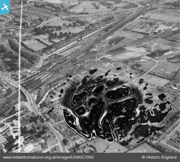
EAW017066 ENGLAND (1948). The Batchelor's Peas Ltd Factory and environs, Southall, 1948. This image has been produced from a damaged negative.
© Copyright OpenStreetMap contributors and licensed by the OpenStreetMap Foundation. 2026. Cartography is licensed as CC BY-SA.
Nearby Images (15)
EAW017066

EAW017061

EAW017065

EAW017057

EAW017062

EAW017056

EAW017063

EAW017059

EAW017064

EAW017060

EAW017067

EPW032162

EPW032163

EAW017058

EPW032160

Details
| Title | [EAW017066] The Batchelor's Peas Ltd Factory and environs, Southall, 1948. This image has been produced from a damaged negative. |
| Reference | EAW017066 |
| Date | 6-July-1948 |
| Link | |
| Place name | SOUTHALL |
| Parish | |
| District | |
| Country | ENGLAND |
| Easting / Northing | 512854, 179697 |
| Longitude / Latitude | -0.37379704725173, 51.504441200572 |
| National Grid Reference | TQ129797 |
Pins

southallboy |
Wednesday 27th of August 2014 03:29:36 PM | |
|
southallboy |
Wednesday 27th of August 2014 03:26:24 PM | |
|
southallboy |
Monday 7th of April 2014 03:46:20 PM | |
|
southallboy |
Monday 7th of April 2014 03:44:11 PM | |
|
southallboy |
Monday 7th of April 2014 03:42:33 PM | |
|
southallboy |
Monday 7th of April 2014 03:38:00 PM | |
|
southallboy |
Monday 7th of April 2014 03:35:55 PM | |
|
southallboy |
Monday 7th of April 2014 03:33:45 PM | |
|
southallboy |
Monday 7th of April 2014 03:32:39 PM | |
|
southallboy |
Monday 7th of April 2014 03:31:18 PM |