
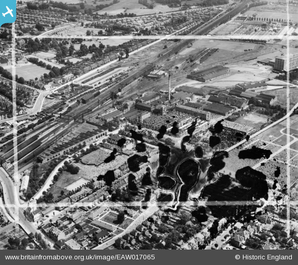
EAW017065 ENGLAND (1948). The Batchelor's Peas Ltd Factory and environs, Southall, 1948. This image has been produced from a damaged negative.
© Copyright OpenStreetMap contributors and licensed by the OpenStreetMap Foundation. 2026. Cartography is licensed as CC BY-SA.
Nearby Images (15)
EAW017065

EAW017057

EAW017066

EAW017061

EAW017062

EAW017063

EAW017056

EAW017059

EAW017064

EAW017060

EPW032162

EPW032163

EAW017067

EPW032160

EAW017058

Details
| Title | [EAW017065] The Batchelor's Peas Ltd Factory and environs, Southall, 1948. This image has been produced from a damaged negative. |
| Reference | EAW017065 |
| Date | 6-July-1948 |
| Link | |
| Place name | SOUTHALL |
| Parish | |
| District | |
| Country | ENGLAND |
| Easting / Northing | 512855, 179719 |
| Longitude / Latitude | -0.37377560262757, 51.50463875608 |
| National Grid Reference | TQ129797 |
Pins

Matt Aldred edob.mattaldred.com |
Friday 29th of March 2024 04:10:45 PM | |

southallboy |
Thursday 29th of May 2014 02:48:56 PM |