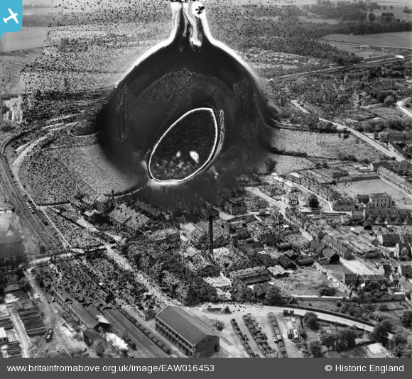
EAW016453 ENGLAND (1948). South Retford, Retford, 1948. This image has been produced from a damaged negative.
© Copyright OpenStreetMap contributors and licensed by the OpenStreetMap Foundation. 2026. Cartography is licensed as CC BY-SA.
Nearby Images (8)
Details
| Title | [EAW016453] South Retford, Retford, 1948. This image has been produced from a damaged negative. |
| Reference | EAW016453 |
| Date | 9-June-1948 |
| Link | |
| Place name | RETFORD |
| Parish | |
| District | |
| Country | ENGLAND |
| Easting / Northing | 470513, 380440 |
| Longitude / Latitude | -0.94143673522165, 53.315919229263 |
| National Grid Reference | SK705804 |
Pins

redmist |
Tuesday 19th of April 2022 10:10:33 PM | |

redmist |
Tuesday 19th of April 2022 10:10:09 PM | |

redmist |
Tuesday 19th of April 2022 10:09:27 PM | |

redmist |
Tuesday 19th of April 2022 10:03:42 PM | |

redmist |
Tuesday 19th of April 2022 10:03:20 PM | |

redmist |
Tuesday 19th of April 2022 10:02:57 PM |


![[EAW016453] South Retford, Retford, 1948. This image has been produced from a damaged negative.](http://britainfromabove.org.uk/sites/all/libraries/aerofilms-images/public/100x100/EAW/016/EAW016453.jpg)
![[EAW016451] Thrumpton Lane and South Retford, Retford, 1948. This image has been produced from a damaged negative.](http://britainfromabove.org.uk/sites/all/libraries/aerofilms-images/public/100x100/EAW/016/EAW016451.jpg)
![[EAW016457] The Northern Rubber Co Ltd Works on Thrumpton Lane, Retford, 1948. This image has been produced from a damaged negative.](http://britainfromabove.org.uk/sites/all/libraries/aerofilms-images/public/100x100/EAW/016/EAW016457.jpg)
![[EAW016455] The Northern Rubber Co Ltd Works on Thrumpton Lane, Retford, from the south-west, 1948. This image has been produced from a print.](http://britainfromabove.org.uk/sites/all/libraries/aerofilms-images/public/100x100/EAW/016/EAW016455.jpg)
![[EAW016456] South Retford, Retford, from the south, 1948. This image has been produced from a print marked by Aerofilms Ltd for photo editing..](http://britainfromabove.org.uk/sites/all/libraries/aerofilms-images/public/100x100/EAW/016/EAW016456.jpg)
![[EAW016458] The Northern Rubber Co Ltd Works on Thrumpton Lane, Retford, 1948. This image has been produced from a print.](http://britainfromabove.org.uk/sites/all/libraries/aerofilms-images/public/100x100/EAW/016/EAW016458.jpg)
![[EAW016454] The Northern Rubber Co Ltd Works on Thrumpton Lane, Retford, 1948. This image has been produced from a print marked by Aerofilms Ltd for photo editing.](http://britainfromabove.org.uk/sites/all/libraries/aerofilms-images/public/100x100/EAW/016/EAW016454.jpg)
![[EAW016452] Thrumpton and South Retford, Retford, 1948. This image has been produced from a damaged negative.](http://britainfromabove.org.uk/sites/all/libraries/aerofilms-images/public/100x100/EAW/016/EAW016452.jpg)