
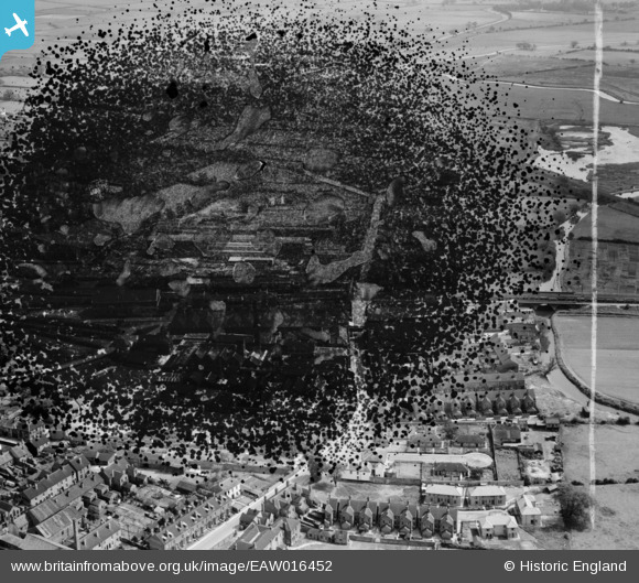
EAW016452 ENGLAND (1948). Thrumpton and South Retford, Retford, 1948. This image has been produced from a damaged negative.
© Copyright OpenStreetMap contributors and licensed by the OpenStreetMap Foundation. 2026. Cartography is licensed as CC BY-SA.
Nearby Images (8)
EAW016452

EAW016454

EAW016456

EAW016458

EAW016455

EAW016457

EAW016451

EAW016453

Details
| Title | [EAW016452] Thrumpton and South Retford, Retford, 1948. This image has been produced from a damaged negative. |
| Reference | EAW016452 |
| Date | 9-June-1948 |
| Link | |
| Place name | RETFORD |
| Parish | |
| District | |
| Country | ENGLAND |
| Easting / Northing | 470733, 380290 |
| Longitude / Latitude | -0.93816811095879, 53.314541653284 |
| National Grid Reference | SK707803 |
Pins

redmist |
Tuesday 19th of April 2022 10:12:48 PM |