
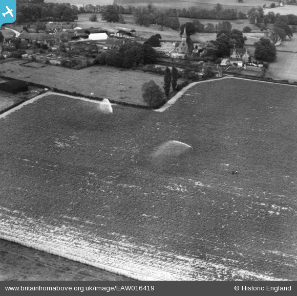
EAW016419 ENGLAND (1948). A crop being watered with impact sprinklers, Sambrook, 1948. This image has been produced from a print.
© Copyright OpenStreetMap contributors and licensed by the OpenStreetMap Foundation. 2026. Cartography is licensed as CC BY-SA.
Nearby Images (2)
EAW016419

EAW016420

Details
| Title | [EAW016419] A crop being watered with impact sprinklers, Sambrook, 1948. This image has been produced from a print. |
| Reference | EAW016419 |
| Date | 9-June-1948 |
| Link | |
| Place name | SAMBROOK |
| Parish | CHETWYND |
| District | |
| Country | ENGLAND |
| Easting / Northing | 371599, 324351 |
| Longitude / Latitude | -2.4214469531885, 52.815620732849 |
| National Grid Reference | SJ716244 |
Pins
Be the first to add a comment to this image!