
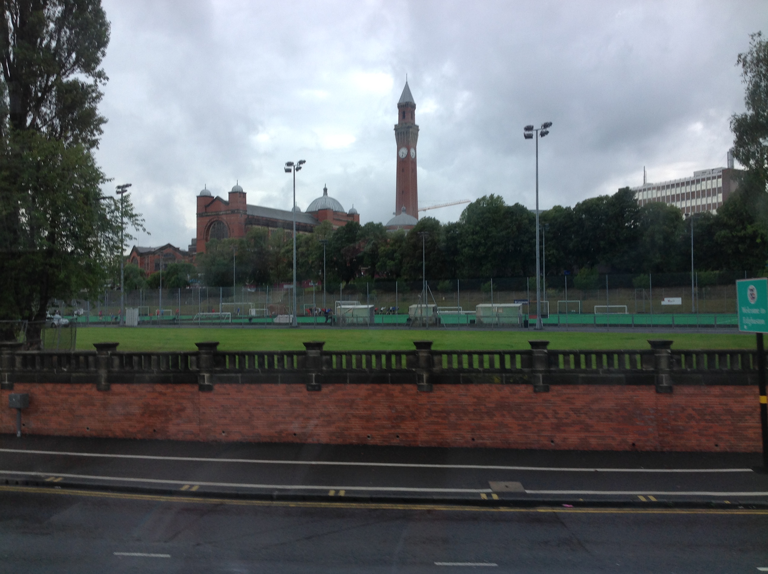
EAW016387 ENGLAND (1948). The University of Birmingham, Edgbaston, 1948. This image has been produced from a print.

© Copyright OpenStreetMap contributors and licensed by the OpenStreetMap Foundation. 2026. Cartography is licensed as CC BY-SA.
Nearby Images (16)
EAW016387

EAW016386

EPW022591

EAW016389

EAW016392

EPW022593

EPW022592

EAW016395

EAW016388

EAW016394

EAW016390

EPW022590

EAW016383

EPW022589

EPW059859

EAW016382

Details
| Title | [EAW016387] The University of Birmingham, Edgbaston, 1948. This image has been produced from a print. |
| Reference | EAW016387 |
| Date | 9-June-1948 |
| Link | |
| Place name | EDGBASTON |
| Parish | |
| District | |
| Country | ENGLAND |
| Easting / Northing | 404810, 283436 |
| Longitude / Latitude | -1.9292187349051, 52.448490142447 |
| National Grid Reference | SP048834 |
Pins
Be the first to add a comment to this image!
User Comment Contributions
University of Birmingham, Edgbaston, 15/08/2015 |

Class31 |
Wednesday 19th of August 2015 02:06:32 PM |