
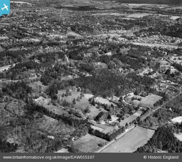
EAW015107 ENGLAND (1948). Houses and woodland around Rhodendale, The Bourne, 1948
© Copyright OpenStreetMap contributors and licensed by the OpenStreetMap Foundation. 2026. Cartography is licensed as CC BY-SA.
Nearby Images (7)
EAW015107

EAW015105

EAW015104

EAW015102

EAW015101

EAW015103

EAW015106

Details
| Title | [EAW015107] Houses and woodland around Rhodendale, The Bourne, 1948 |
| Reference | EAW015107 |
| Date | 30-April-1948 |
| Link | |
| Place name | THE BOURNE |
| Parish | FARNHAM |
| District | |
| Country | ENGLAND |
| Easting / Northing | 484283, 144221 |
| Longitude / Latitude | -0.79378781361574, 51.190470812809 |
| National Grid Reference | SU843442 |
Pins

hvndghelipvjrhonpr@awdrt.com |
Wednesday 15th of July 2020 03:34:31 PM | |
|
hvndghelipvjrhonpr@awdrt.com |
Wednesday 15th of July 2020 03:33:09 PM | |
|
hvndghelipvjrhonpr@awdrt.com |
Wednesday 15th of July 2020 03:28:25 PM | |
|
hvndghelipvjrhonpr@awdrt.com |
Wednesday 15th of July 2020 03:17:45 PM | |
|
jamescnicholls |
Wednesday 26th of November 2014 09:37:19 PM | |
|
flubber |
Monday 2nd of June 2014 01:22:49 PM | |
|
flubber |
Friday 25th of April 2014 06:43:50 PM | |
|
flubber |
Tuesday 24th of December 2013 07:32:56 PM | |
|
flubber |
Tuesday 24th of December 2013 07:31:46 PM | |
|
flubber |
Tuesday 24th of December 2013 07:29:51 PM | |
|
flubber |
Tuesday 24th of December 2013 07:26:35 PM |