
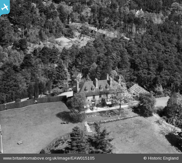
EAW015105 ENGLAND (1948). Rhodendale, The Bourne, 1948
© Copyright OpenStreetMap contributors and licensed by the OpenStreetMap Foundation. 2026. Cartography is licensed as CC BY-SA.
Nearby Images (7)
EAW015105

EAW015102

EAW015104

EAW015103

EAW015106

EAW015101

EAW015107

Details
| Title | [EAW015105] Rhodendale, The Bourne, 1948 |
| Reference | EAW015105 |
| Date | 30-April-1948 |
| Link | |
| Place name | THE BOURNE |
| Parish | FARNHAM |
| District | |
| Country | ENGLAND |
| Easting / Northing | 484167, 144133 |
| Longitude / Latitude | -0.79546817805495, 51.189696705441 |
| National Grid Reference | SU842441 |
Pins
Be the first to add a comment to this image!