
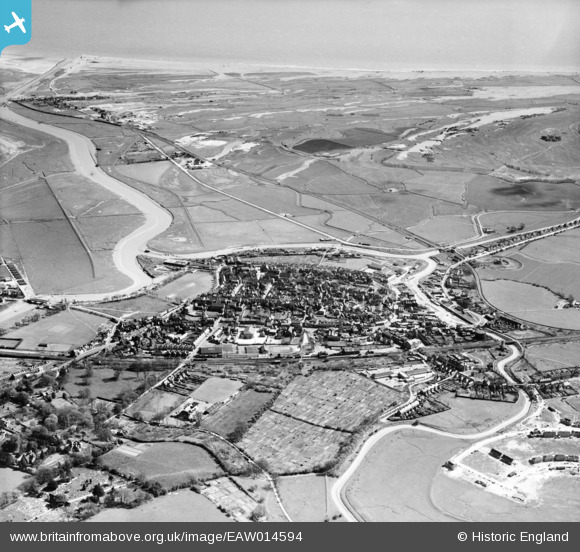
EAW014594 ENGLAND (1948). The town, Rye, from the north-west, 1948
© Copyright OpenStreetMap contributors and licensed by the OpenStreetMap Foundation. 2026. Cartography is licensed as CC BY-SA.
Nearby Images (5)
EAW014594

EPW026241

EPW039357

EAW014593

EPW039360

Details
| Title | [EAW014594] The town, Rye, from the north-west, 1948 |
| Reference | EAW014594 |
| Date | 16-April-1948 |
| Link | |
| Place name | RYE |
| Parish | RYE |
| District | |
| Country | ENGLAND |
| Easting / Northing | 591894, 120632 |
| Longitude / Latitude | 0.73240818820854, 50.952579756217 |
| National Grid Reference | TQ919206 |
Pins

Matt Aldred edob.mattaldred.com |
Saturday 7th of February 2026 08:33:39 PM | |
|
Matt Aldred edob.mattaldred.com |
Monday 2nd of February 2026 09:19:35 PM | |
|
Matt Aldred edob.mattaldred.com |
Monday 2nd of February 2026 09:19:19 PM | |
|
Matt Aldred edob.mattaldred.com |
Monday 2nd of February 2026 09:18:56 PM | |
|
Matt Aldred edob.mattaldred.com |
Monday 26th of January 2026 03:24:03 PM | |

Sparky |
Thursday 10th of August 2017 11:58:31 AM | |
|
Sparky |
Thursday 10th of August 2017 11:57:28 AM | |
|
Sparky |
Thursday 10th of August 2017 11:56:47 AM | |
|
Sparky |
Thursday 10th of August 2017 11:55:42 AM | |

John W |
Sunday 11th of December 2016 08:29:56 PM | |
|
glennhughz |
Wednesday 9th of April 2014 05:36:50 PM |
User Comment Contributions
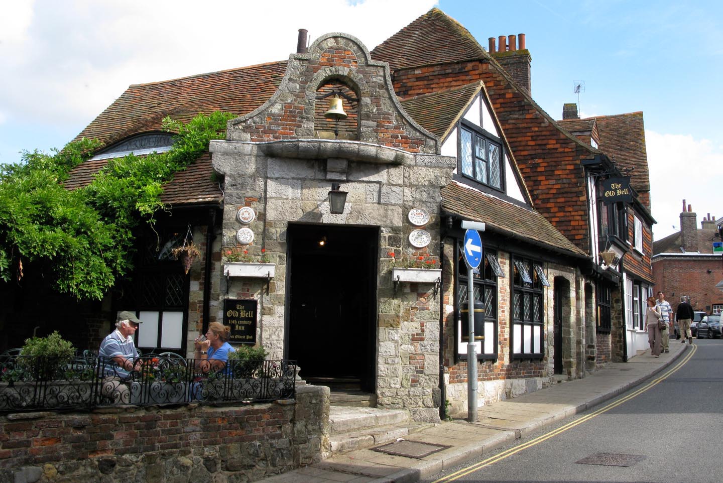
The Old Bell PH |

Alan McFaden |
Monday 24th of November 2014 02:56:43 PM |
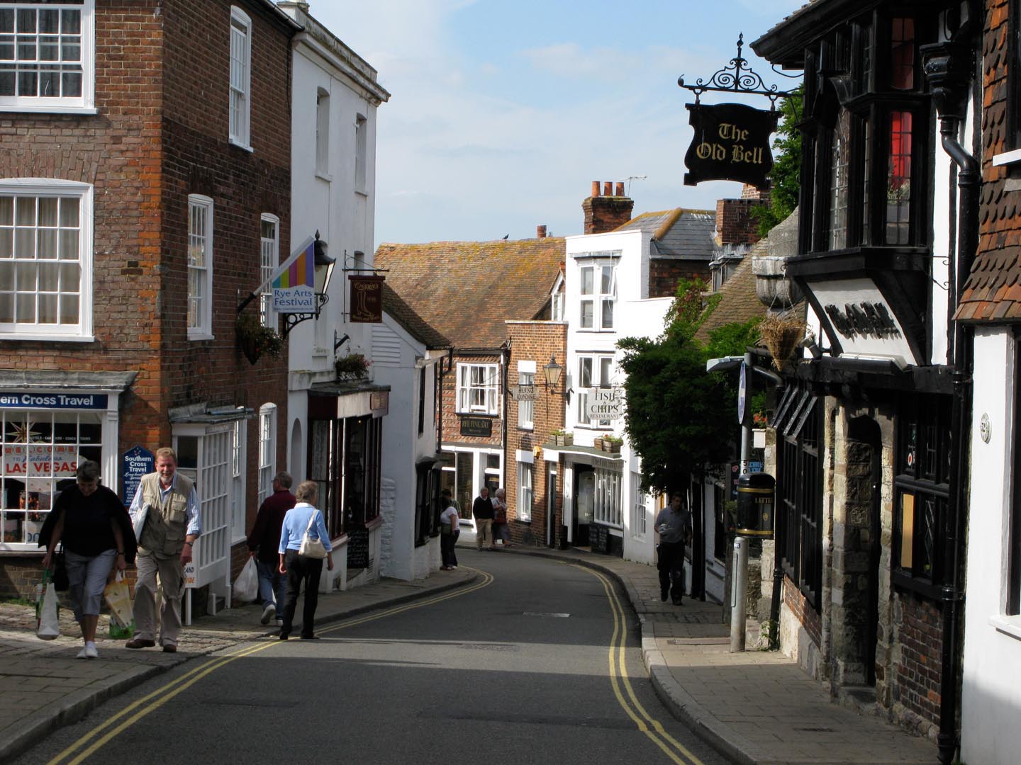
Rye |
Alan McFaden |
Monday 24th of November 2014 02:56:21 PM |
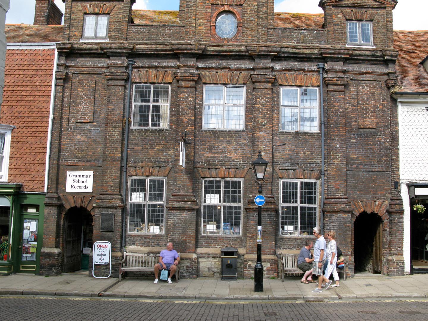
Rye Old Grammar School |
Alan McFaden |
Monday 24th of November 2014 02:56:01 PM |