
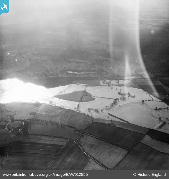
EAW012555 ENGLAND (1948). The River Severn in flood, Cound, 1948. This image has been affected by flare.
© Copyright OpenStreetMap contributors and licensed by the OpenStreetMap Foundation. 2026. Cartography is licensed as CC BY-SA.
Nearby Images (4)
EAW012555

EAW012650

EAW012649

EAW012651

Details
| Title | [EAW012555] The River Severn in flood, Cound, 1948. This image has been affected by flare. |
| Reference | EAW012555 |
| Date | 14-January-1948 |
| Link | |
| Place name | COUND |
| Parish | COUND |
| District | |
| Country | ENGLAND |
| Easting / Northing | 356476, 305683 |
| Longitude / Latitude | -2.6433714037293, 52.646785481135 |
| National Grid Reference | SJ565057 |
Pins
Be the first to add a comment to this image!