
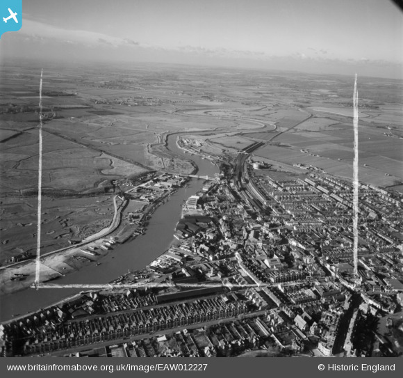
EAW012227 ENGLAND (1947). The River Arun, Littlehampton, from the south-east, 1947. This image was marked by Aerofilms Ltd for photo editing.
© Copyright OpenStreetMap contributors and licensed by the OpenStreetMap Foundation. 2026. Cartography is licensed as CC BY-SA.
Nearby Images (9)
EAW012227

EPW045570

EAW012228

EPW001488

EAW022241
, the seafront and the town, Littlehampton, 1949")
EAW012239

EPW039468

EAW012238

EPW001489

Details
| Title | [EAW012227] The River Arun, Littlehampton, from the south-east, 1947. This image was marked by Aerofilms Ltd for photo editing. |
| Reference | EAW012227 |
| Date | 24-November-1947 |
| Link | |
| Place name | LITTLEHAMPTON |
| Parish | LITTLEHAMPTON |
| District | |
| Country | ENGLAND |
| Easting / Northing | 502720, 101931 |
| Longitude / Latitude | -0.54197878200549, 50.807252204547 |
| National Grid Reference | TQ027019 |
Pins

redmist |
Monday 27th of June 2022 10:31:50 PM | |
|
JerryE |
Thursday 2nd of January 2014 09:50:06 PM | |
|
JerryE |
Thursday 2nd of January 2014 09:47:34 PM | |
|
JerryE |
Thursday 2nd of January 2014 09:46:56 PM | |
|
JerryE |
Thursday 2nd of January 2014 09:45:50 PM | |
|
JerryE |
Thursday 2nd of January 2014 09:26:51 PM | |
|
JerryE |
Thursday 2nd of January 2014 09:26:04 PM |