
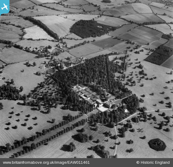
EAW011461 ENGLAND (1947). Easton Neston House, Easton Neston Park, 1947
© Copyright OpenStreetMap contributors and licensed by the OpenStreetMap Foundation. 2026. Cartography is licensed as CC BY-SA.
Nearby Images (5)
EAW011461

EAW011462

EAW011463

EAW011464

EAW011466

Details
| Title | [EAW011461] Easton Neston House, Easton Neston Park, 1947 |
| Reference | EAW011461 |
| Date | 24-September-1947 |
| Link | |
| Place name | EASTON NESTON PARK |
| Parish | EASTON NESTON |
| District | |
| Country | ENGLAND |
| Easting / Northing | 470288, 249512 |
| Longitude / Latitude | -0.97285127713103, 52.139018166298 |
| National Grid Reference | SP703495 |
Pins
Be the first to add a comment to this image!