
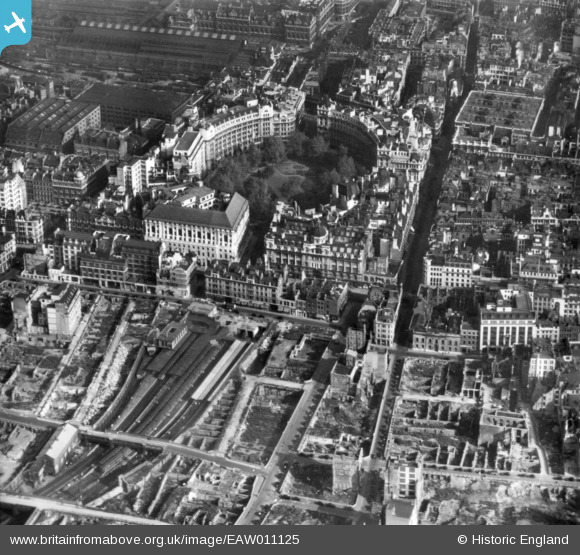
EAW011125 ENGLAND (1947). Finsbury Circus and cleared sites around Moorgate Street Station following bomb damage, London, 1947. This image has been produced from a print.
© Copyright OpenStreetMap contributors and licensed by the OpenStreetMap Foundation. 2026. Cartography is licensed as CC BY-SA.
Nearby Images (14)
EAW011125

EAW026318

EAW026315

EAW000512

EAW026320

EAW049464
, London, 1953")
EAW026313

EAW011192

EAW011124

EAW011193

EPW053665

EPW053666

EAW021730

EPW045432

Details
| Title | [EAW011125] Finsbury Circus and cleared sites around Moorgate Street Station following bomb damage, London, 1947. This image has been produced from a print. |
| Reference | EAW011125 |
| Date | 30-September-1947 |
| Link | |
| Place name | LONDON |
| Parish | |
| District | |
| Country | ENGLAND |
| Easting / Northing | 532740, 181617 |
| Longitude / Latitude | -0.086679828050063, 51.517375783177 |
| National Grid Reference | TQ327816 |
Pins

User Comment Contributions
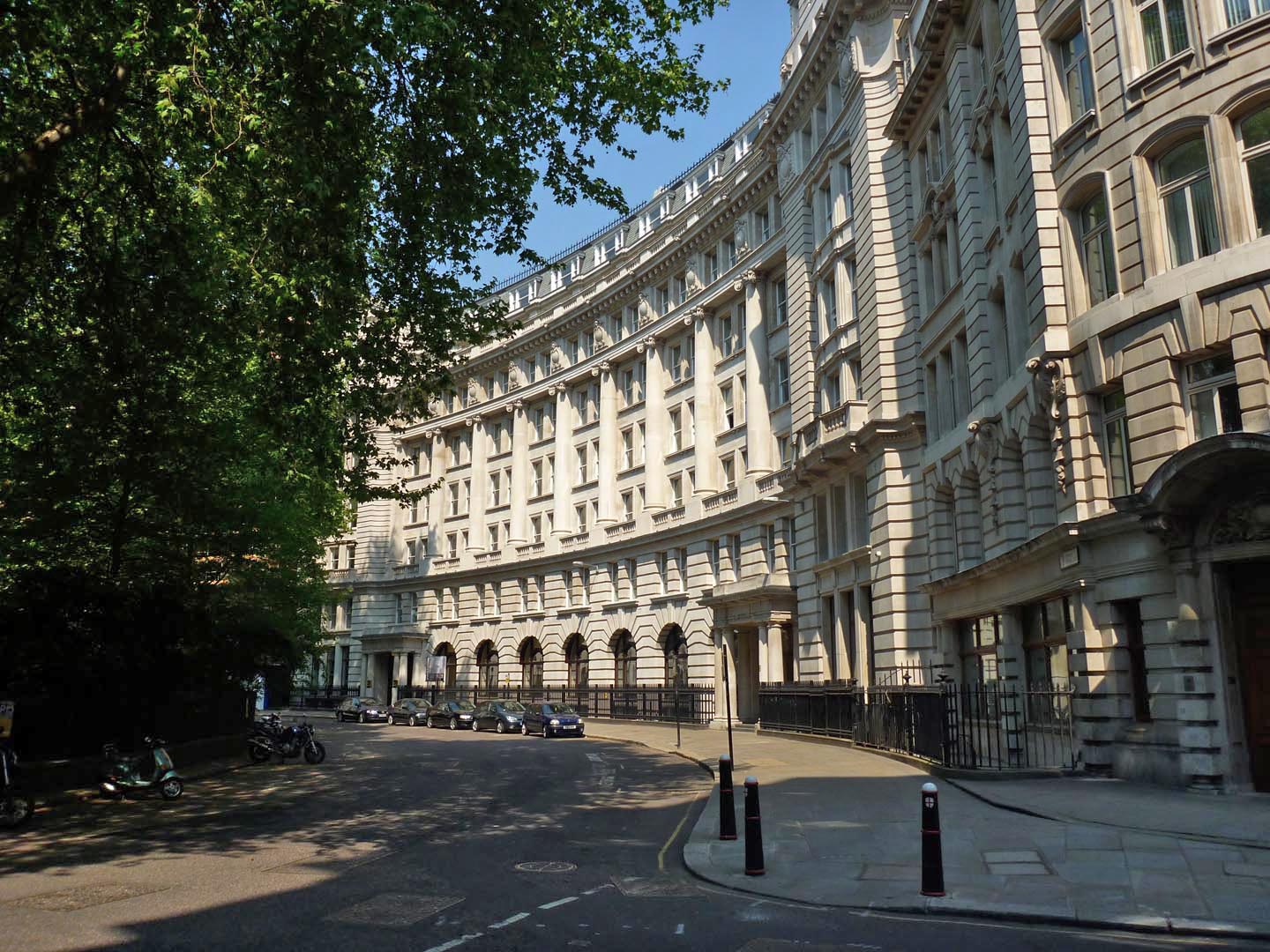
Finsbury Circus 2011 |

Alan McFaden |
Friday 19th of December 2014 10:16:33 AM |
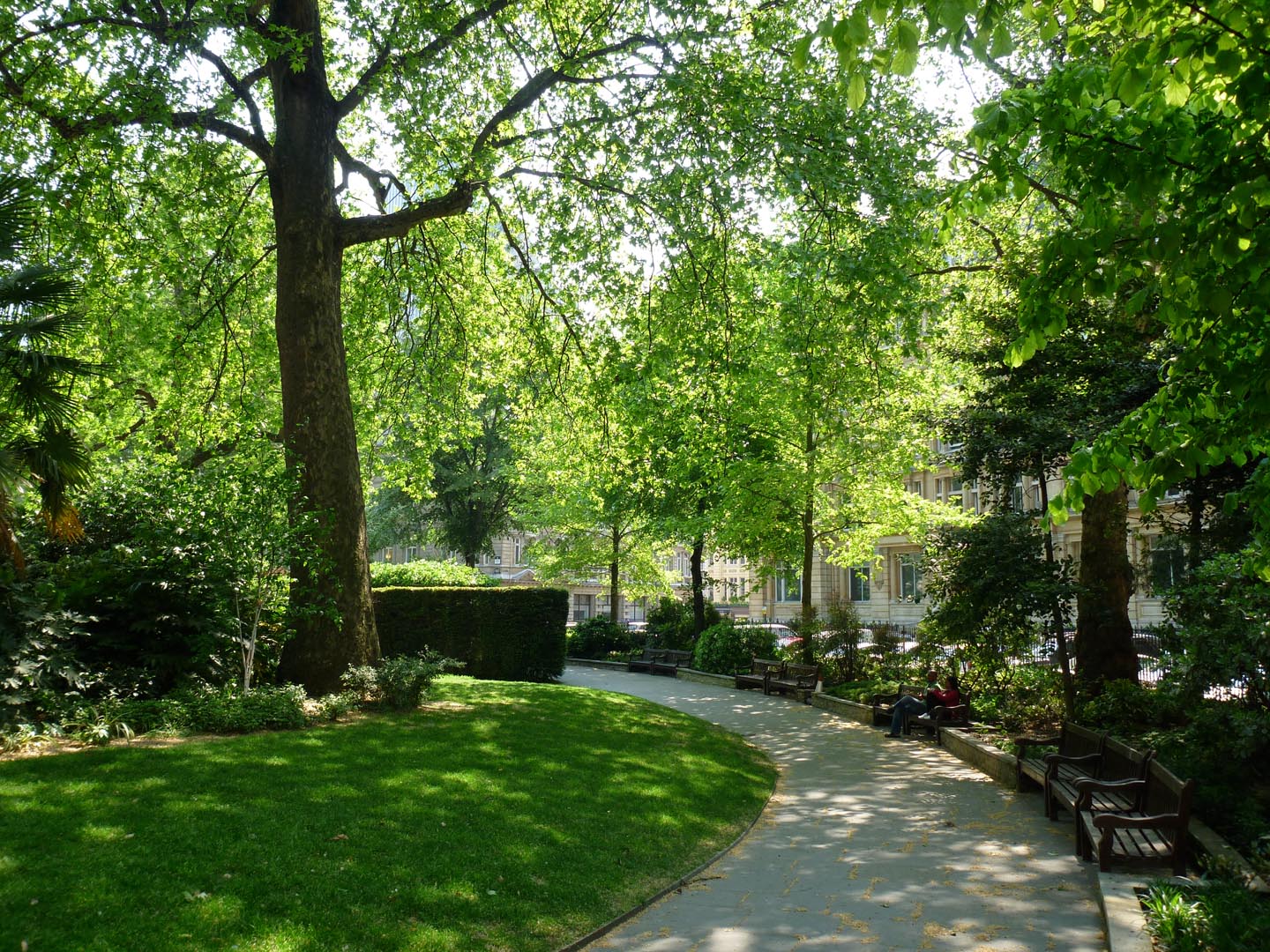
Finsbury Circus 2011 |
Alan McFaden |
Friday 19th of December 2014 10:16:04 AM |