
EAW011123 ENGLAND (1947). The New Artillery Ground and surrounding cleared sites following bomb damage, St Luke's, 1947. This image has been produced from a print.

© Copyright OpenStreetMap contributors and licensed by the OpenStreetMap Foundation. 2026. Cartography is licensed as CC BY-SA.
Nearby Images (8)
EAW011123

EAW011217

EAW011200

EAW011199

EPW053665

EAW011124

EPW053666

EAW000514

Details
| Title | [EAW011123] The New Artillery Ground and surrounding cleared sites following bomb damage, St Luke's, 1947. This image has been produced from a print. |
| Reference | EAW011123 |
| Date | 30-September-1947 |
| Link | |
| Place name | ST LUKE'S |
| Parish | |
| District | |
| Country | ENGLAND |
| Easting / Northing | 532782, 182074 |
| Longitude / Latitude | -0.085902572585712, 51.521473177561 |
| National Grid Reference | TQ328821 |
Pins

Class31 |
Friday 23rd of January 2015 05:06:18 PM | |

Alan McFaden |
Sunday 16th of November 2014 09:43:03 AM | |

billyfern |
Friday 3rd of October 2014 06:54:21 PM | |
|
billyfern |
Friday 3rd of October 2014 06:54:01 PM | |
|
billyfern |
Friday 3rd of October 2014 06:53:24 PM | |
|
billyfern |
Friday 3rd of October 2014 06:52:51 PM |


User Comment Contributions
Finsbury Square 2014 |
Alan McFaden |
Sunday 16th of November 2014 09:44:18 AM |
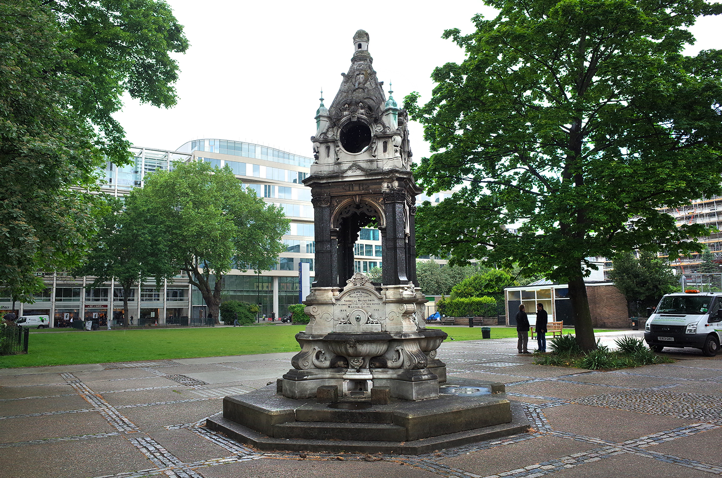
Finsbury Square 2014 |
Alan McFaden |
Sunday 16th of November 2014 09:43:48 AM |
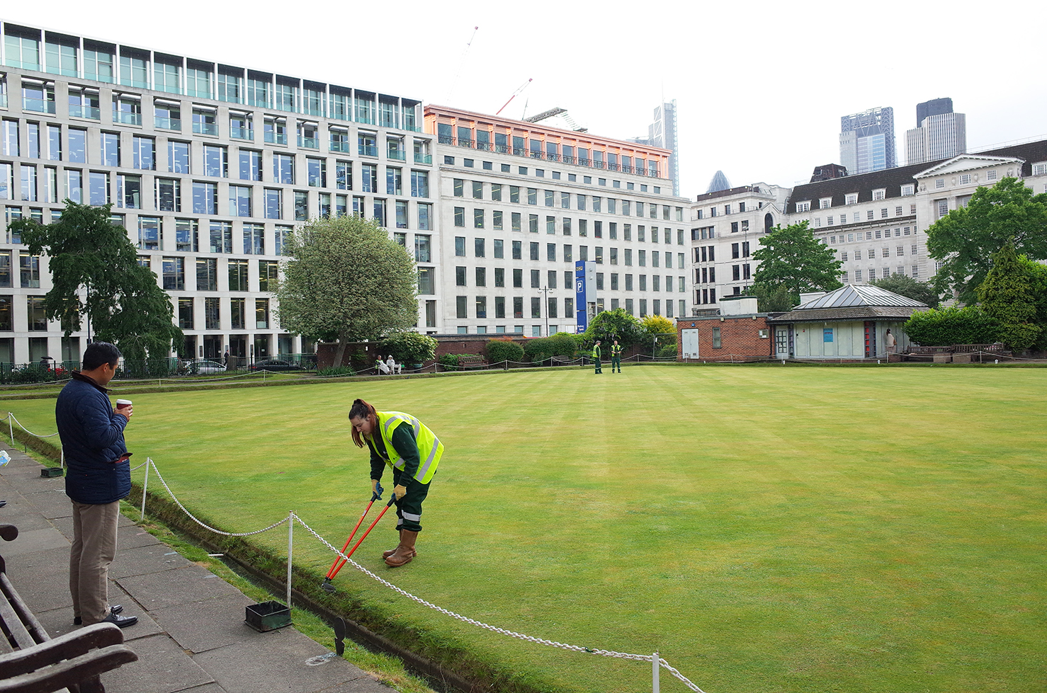
New Artillery Ground |
Alan McFaden |
Sunday 16th of November 2014 09:42:00 AM |