
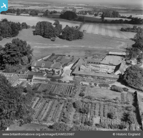
EAW010987 ENGLAND (1947). Hassacks House and Home Farm, Farleigh Wallop, 1947
© Copyright OpenStreetMap contributors and licensed by the OpenStreetMap Foundation. 2025. Cartography is licensed as CC BY-SA.
Nearby Images (23)
EAW010987

EAW010999

EAW011000

EAW010988

EAW010990

EAW010991

EAW010983

EAW046167

EAW046168

EAW046163

EAW010986

EAW010995

EAW046166

EAW046165

EAW010998

EAW046164

EAW010996

EAW010992

EAW010984

EAW010989

EAW010994

EAW010985

EAW010993

Details
| Title | [EAW010987] Hassacks House and Home Farm, Farleigh Wallop, 1947 |
| Reference | EAW010987 |
| Date | 24-September-1947 |
| Link | |
| Place name | FARLEIGH WALLOP |
| Parish | FARLEIGH WALLOP |
| District | |
| Country | ENGLAND |
| Easting / Northing | 462262, 146796 |
| Longitude / Latitude | -1.1084452920213, 51.216449152323 |
| National Grid Reference | SU623468 |
Pins
Be the first to add a comment to this image!