
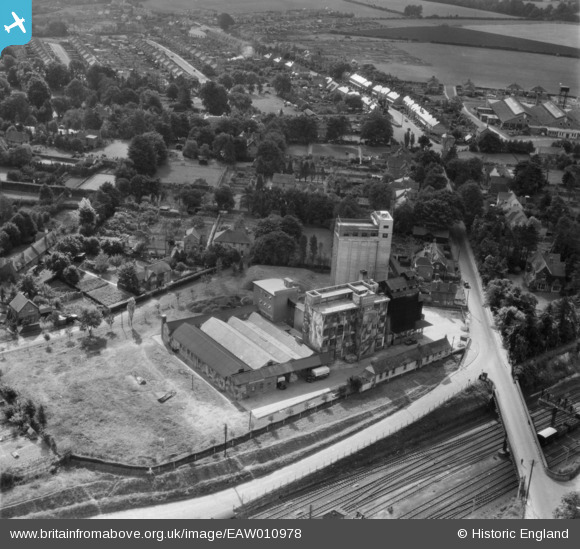
EAW010978 ENGLAND (1947). Junction Flour Mills, Andover, 1947
© Copyright OpenStreetMap contributors and licensed by the OpenStreetMap Foundation. 2026. Cartography is licensed as CC BY-SA.
Nearby Images (21)
EAW010978

EAW051070

EAW051072

EAW051075

EAW051074

EAW051073

EAW010973

EAW010971

EAW051071

EAW010974

EAW010976

EAW010975

EAW051068

EAW010980

EAW051069

EPW022741

EAW010981

EPW022739

EAW010972

EAW010977

EAW010979

Details
| Title | [EAW010978] Junction Flour Mills, Andover, 1947 |
| Reference | EAW010978 |
| Date | 24-September-1947 |
| Link | |
| Place name | ANDOVER |
| Parish | ANDOVER |
| District | |
| Country | ENGLAND |
| Easting / Northing | 435308, 145669 |
| Longitude / Latitude | -1.4944992149644, 51.20861829498 |
| National Grid Reference | SU353457 |
Pins

Billy Turner |
Tuesday 8th of November 2016 02:38:03 PM |

User Comment Contributions
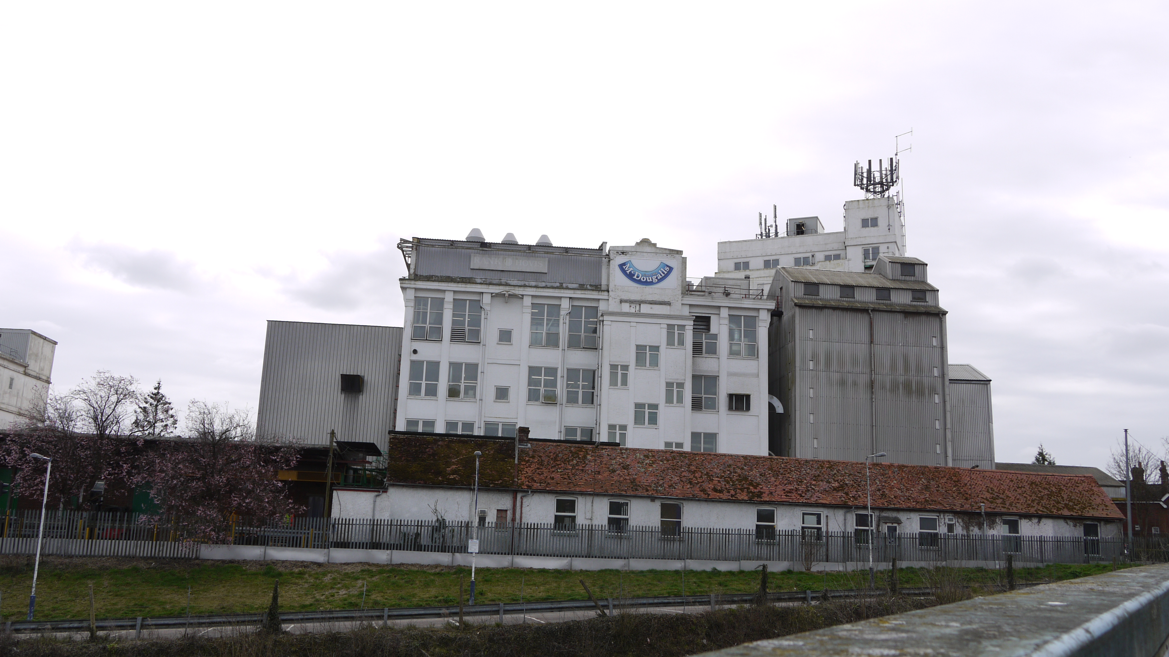
McDougall's Flour Mills, Andover, 30/03/2015 |

Class31 |
Tuesday 31st of March 2015 05:43:16 PM |