
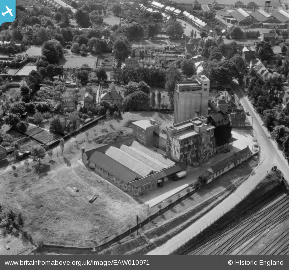
EAW010971 ENGLAND (1947). Junction Flour Mills, Andover, 1947
© Copyright OpenStreetMap contributors and licensed by the OpenStreetMap Foundation. 2026. Cartography is licensed as CC BY-SA.
Nearby Images (21)
EAW010971

EAW010973

EAW010976

EAW010974

EPW022739

EAW051071

EAW010980

EAW051069

EAW010972

EAW010977

EAW051074

EAW051075

EPW022741

EAW051068

EAW010979

EAW010975

EAW051073

EAW051070

EAW010978

EAW010981

EAW051072

Details
| Title | [EAW010971] Junction Flour Mills, Andover, 1947 |
| Reference | EAW010971 |
| Date | 24-September-1947 |
| Link | |
| Place name | ANDOVER |
| Parish | ANDOVER |
| District | |
| Country | ENGLAND |
| Easting / Northing | 435321, 145718 |
| Longitude / Latitude | -1.4943082772262, 51.209058128515 |
| National Grid Reference | SU353457 |


