
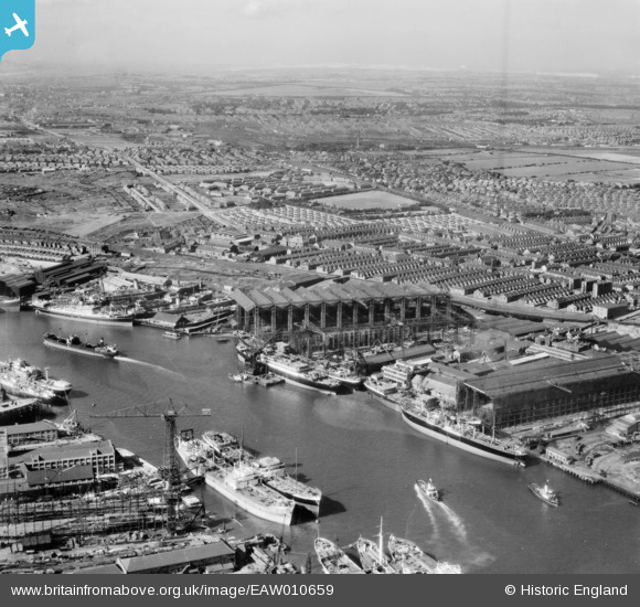
EAW010659 ENGLAND (1947). Shipyards on the River Tyne, Wallsend, from the east, 1947
© Copyright OpenStreetMap contributors and licensed by the OpenStreetMap Foundation. 2026. Cartography is licensed as CC BY-SA.
Nearby Images (24)
EAW010659

EPW048787

EPW007380

EAW002157

EAW010658

EPW050753

EAW009385

EAW017461

EPW048227

EPW050751

EAW009377

EPW048786

EPW050752

EAW010665

EAW010660

EPW054564

EPW048789

EPW048224

EAW017462

EAW009384

EPW048228

EPW048784

EPW048785

EAW002154

Details
| Title | [EAW010659] Shipyards on the River Tyne, Wallsend, from the east, 1947 |
| Reference | EAW010659 |
| Date | 10-September-1947 |
| Link | |
| Place name | WALLSEND |
| Parish | |
| District | |
| Country | ENGLAND |
| Easting / Northing | 430416, 565701 |
| Longitude / Latitude | -1.5246468479906, 54.984901894803 |
| National Grid Reference | NZ304657 |
Pins
Be the first to add a comment to this image!