
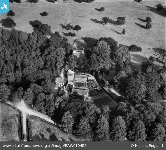
EAW010455 ENGLAND (1947). Hexgreave Hall, Hexgreave Park, 1947
© Copyright OpenStreetMap contributors and licensed by the OpenStreetMap Foundation. 2025. Cartography is licensed as CC BY-SA.
Nearby Images (5)
EAW010455

EAW010457

EAW010458

EAW010456

EAW007353

Details
| Title | [EAW010455] Hexgreave Hall, Hexgreave Park, 1947 |
| Reference | EAW010455 |
| Date | 30-August-1947 |
| Link | |
| Place name | HEXGREAVE PARK |
| Parish | FARNSFIELD |
| District | |
| Country | ENGLAND |
| Easting / Northing | 465524, 358285 |
| Longitude / Latitude | -1.0208725576525, 53.117418449245 |
| National Grid Reference | SK655583 |
Pins
Be the first to add a comment to this image!