
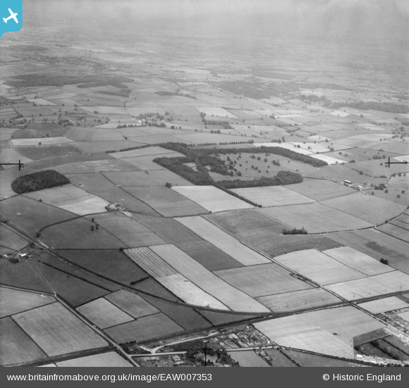
EAW007353 ENGLAND (1947). Hexgreave Park and surrounding countryside, Farnsfield, 1947
© Copyright OpenStreetMap contributors and licensed by the OpenStreetMap Foundation. 2025. Cartography is licensed as CC BY-SA.
Nearby Images (5)
EAW007353

EAW010455

EAW010457

EAW010456

EAW010458

Details
| Title | [EAW007353] Hexgreave Park and surrounding countryside, Farnsfield, 1947 |
| Reference | EAW007353 |
| Date | 24-June-1947 |
| Link | |
| Place name | FARNSFIELD |
| Parish | FARNSFIELD |
| District | |
| Country | ENGLAND |
| Easting / Northing | 465311, 358115 |
| Longitude / Latitude | -1.0240895251744, 53.115916494746 |
| National Grid Reference | SK653581 |
Pins
Be the first to add a comment to this image!