
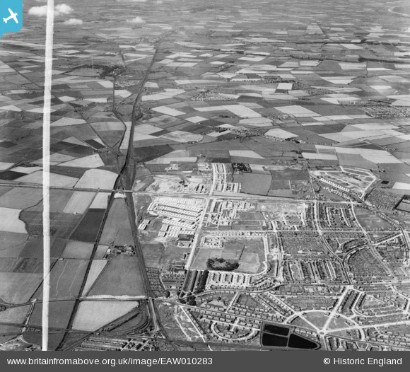
EAW010283 ENGLAND (1947). Development around West Chirton and Billy Mill, Chirton, from the south, 1947. This image was marked by Aerofilms Ltd for photo editing.
© Copyright OpenStreetMap contributors and licensed by the OpenStreetMap Foundation. 2026. Cartography is licensed as CC BY-SA.
Nearby Images (2)
EAW010283

EAW010292

Details
| Title | [EAW010283] Development around West Chirton and Billy Mill, Chirton, from the south, 1947. This image was marked by Aerofilms Ltd for photo editing. |
| Reference | EAW010283 |
| Date | 24-August-1947 |
| Link | |
| Place name | CHIRTON |
| Parish | |
| District | |
| Country | ENGLAND |
| Easting / Northing | 433521, 568122 |
| Longitude / Latitude | -1.4758393294988, 55.006459770489 |
| National Grid Reference | NZ335681 |
Pins

United Red 12 |
Sunday 12th of October 2025 04:17:20 PM |