
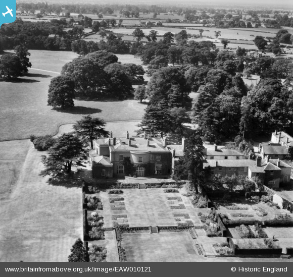
EAW010121 ENGLAND (1947). Tilstone Lodge, Tilstone Fearnall, 1947
© Copyright OpenStreetMap contributors and licensed by the OpenStreetMap Foundation. 2026. Cartography is licensed as CC BY-SA.
Nearby Images (6)
EAW010121

EAW010120

EAW010122

EAW010118

EAW010116

EAW010119

Details
| Title | [EAW010121] Tilstone Lodge, Tilstone Fearnall, 1947 |
| Reference | EAW010121 |
| Date | 29-August-1947 |
| Link | |
| Place name | TILSTONE FEARNALL |
| Parish | TILSTONE FEARNALL |
| District | |
| Country | ENGLAND |
| Easting / Northing | 356860, 361051 |
| Longitude / Latitude | -2.645043984437, 53.144564076529 |
| National Grid Reference | SJ569611 |
Pins
Be the first to add a comment to this image!