
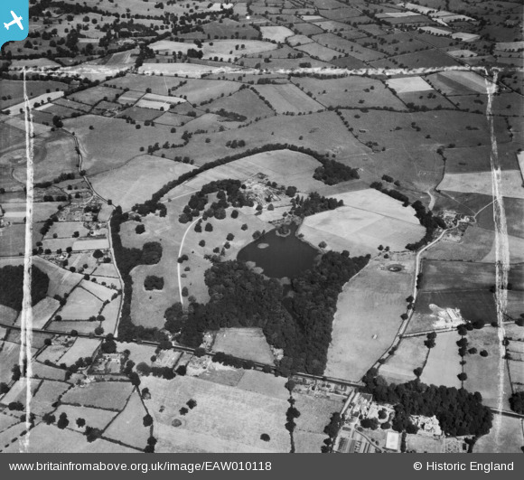
EAW010118 ENGLAND (1947). Tilstone Lodge and grounds, Tilstone Fearnall, 1947. This image was marked by Aerofilms Ltd for photo editing.
© Copyright OpenStreetMap contributors and licensed by the OpenStreetMap Foundation. 2026. Cartography is licensed as CC BY-SA.
Nearby Images (7)
EAW010118

EAW010116

EAW010121

EAW010120

EAW010122

EAW010119

EAW010117

Details
| Title | [EAW010118] Tilstone Lodge and grounds, Tilstone Fearnall, 1947. This image was marked by Aerofilms Ltd for photo editing. |
| Reference | EAW010118 |
| Date | 29-August-1947 |
| Link | |
| Place name | TILSTONE FEARNALL |
| Parish | TILSTONE FEARNALL |
| District | |
| Country | ENGLAND |
| Easting / Northing | 356863, 360959 |
| Longitude / Latitude | -2.6449867401823, 53.143737291994 |
| National Grid Reference | SJ569610 |
Pins

jimmyjoggers |
Wednesday 10th of December 2014 10:54:40 AM | |
|
totoro |
Sunday 1st of December 2013 03:53:36 PM | |
|
totoro |
Sunday 1st of December 2013 03:51:22 PM | |
|
totoro |
Sunday 1st of December 2013 03:46:25 PM | |
|
totoro |
Sunday 1st of December 2013 03:45:52 PM | |
|
totoro |
Sunday 1st of December 2013 03:45:36 PM | |
|
totoro |
Sunday 1st of December 2013 03:43:54 PM | |
|
totoro |
Sunday 1st of December 2013 03:37:18 PM | |
|
totoro |
Sunday 1st of December 2013 03:33:58 PM | |
|
totoro |
Sunday 1st of December 2013 03:30:49 PM |