
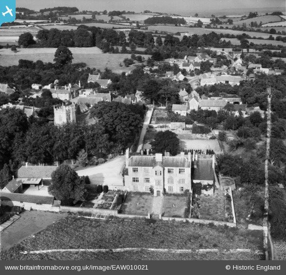
EAW010021 ENGLAND (1947). Ebrington Manor and the village, Ebrington, 1947. This image was marked by Aerofilms Ltd for photo editing.
© Copyright OpenStreetMap contributors and licensed by the OpenStreetMap Foundation. 2026. Cartography is licensed as CC BY-SA.
Nearby Images (17)
EAW010021

EAW010022

EAW010016

EAW010020

EAW010019

EAW010015

EAW006905

EAW006906

EAW006904

EAW006909

EAW006908

EAW006910

EAW010017

EAW006907

EAW010018

EAW006902

EAW006903

Details
| Title | [EAW010021] Ebrington Manor and the village, Ebrington, 1947. This image was marked by Aerofilms Ltd for photo editing. |
| Reference | EAW010021 |
| Date | 29-August-1947 |
| Link | |
| Place name | EBRINGTON |
| Parish | EBRINGTON |
| District | |
| Country | ENGLAND |
| Easting / Northing | 418375, 239967 |
| Longitude / Latitude | -1.7319713932528, 52.0573613972 |
| National Grid Reference | SP184400 |
Pins
Be the first to add a comment to this image!