
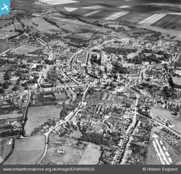
EAW009516 ENGLAND (1947). The city centre, Ely, from the west, 1947
© Copyright OpenStreetMap contributors and licensed by the OpenStreetMap Foundation. 2025. Cartography is licensed as CC BY-SA.
Nearby Images (2)
EAW009516

EAW009515

Details
| Title | [EAW009516] The city centre, Ely, from the west, 1947 |
| Reference | EAW009516 |
| Date | 18-August-1947 |
| Link | |
| Place name | ELY |
| Parish | ELY |
| District | |
| Country | ENGLAND |
| Easting / Northing | 553485, 280463 |
| Longitude / Latitude | 0.25628359539949, 52.400247870963 |
| National Grid Reference | TL535805 |
Pins
Be the first to add a comment to this image!