
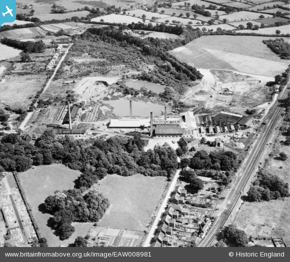
EAW008981 ENGLAND (1947). The Keymer Brick and Tile Works, Burgess Hill, 1947
© Copyright OpenStreetMap contributors and licensed by the OpenStreetMap Foundation. 2026. Cartography is licensed as CC BY-SA.
Nearby Images (8)
EAW008981

EAW008980

EAW008973

EAW008979

EAW008975

EAW008978

EAW008982

EAW008976

Details
| Title | [EAW008981] The Keymer Brick and Tile Works, Burgess Hill, 1947 |
| Reference | EAW008981 |
| Date | 12-August-1947 |
| Link | |
| Place name | BURGESS HILL |
| Parish | BURGESS HILL |
| District | |
| Country | ENGLAND |
| Easting / Northing | 532236, 119310 |
| Longitude / Latitude | -0.11695031677621, 50.957479299575 |
| National Grid Reference | TQ322193 |
Pins
Be the first to add a comment to this image!