
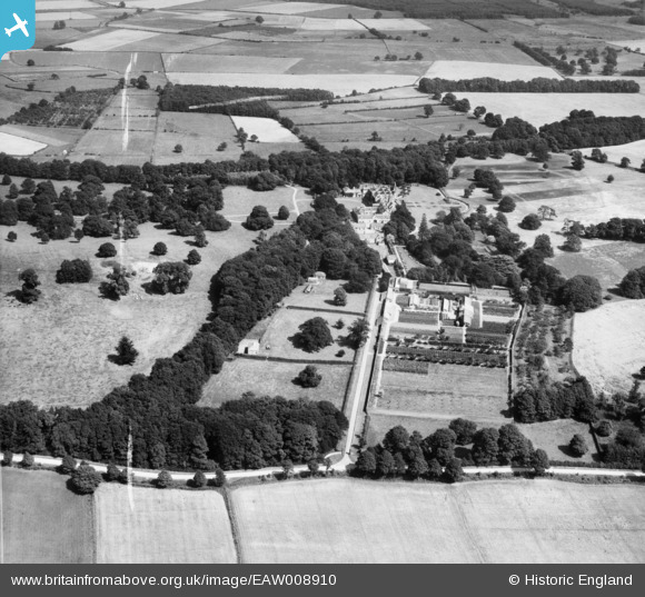
EAW008910 ENGLAND (1947). Wykeham Abbey and grounds, Wykeham, 1947. This image was marked by Aerofilms Ltd for photo editing.
© Copyright OpenStreetMap contributors and licensed by the OpenStreetMap Foundation. 2026. Cartography is licensed as CC BY-SA.
Nearby Images (11)
EAW008910

EAW008913

EAW008911

EAW008909

EAW008902

EAW008905

EAW008901

EAW008907

EAW008904

EAW008906

EAW008912

Details
| Title | [EAW008910] Wykeham Abbey and grounds, Wykeham, 1947. This image was marked by Aerofilms Ltd for photo editing. |
| Reference | EAW008910 |
| Date | 9-August-1947 |
| Link | |
| Place name | WYKEHAM |
| Parish | WYKEHAM |
| District | |
| Country | ENGLAND |
| Easting / Northing | 495975, 481940 |
| Longitude / Latitude | -0.52773242738069, 54.224010620251 |
| National Grid Reference | SE960819 |
Pins
Be the first to add a comment to this image!