
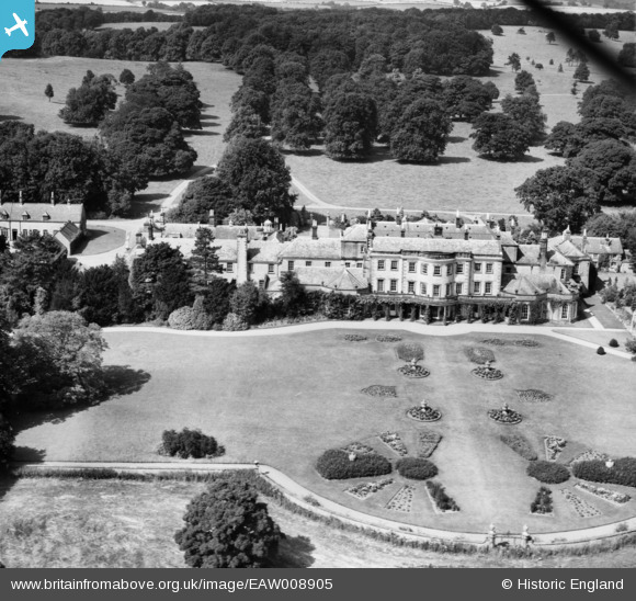
EAW008905 ENGLAND (1947). Wykeham Abbey, Wykeham, 1947
© Copyright OpenStreetMap contributors and licensed by the OpenStreetMap Foundation. 2026. Cartography is licensed as CC BY-SA.
Nearby Images (13)
EAW008905

EAW008902

EAW008907

EAW008901

EAW008904

EAW008911

EAW008909

EAW008912

EAW008908

EAW008903

EAW008906

EAW008910

EAW008913

Details
| Title | [EAW008905] Wykeham Abbey, Wykeham, 1947 |
| Reference | EAW008905 |
| Date | 9-August-1947 |
| Link | |
| Place name | WYKEHAM |
| Parish | WYKEHAM |
| District | |
| Country | ENGLAND |
| Easting / Northing | 496180, 481903 |
| Longitude / Latitude | -0.52460071162688, 54.223639710332 |
| National Grid Reference | SE962819 |
Pins
Be the first to add a comment to this image!