
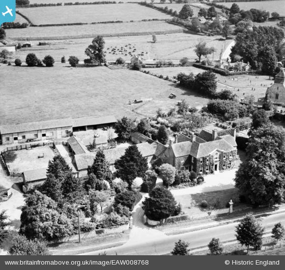
EAW008768 ENGLAND (1947). Sutton Manor, Bishop's Sutton, 1947
© Copyright OpenStreetMap contributors and licensed by the OpenStreetMap Foundation. 2026. Cartography is licensed as CC BY-SA.
Nearby Images (4)
EAW008768

EAW008770

EAW008769

EAW008758

Details
| Title | [EAW008768] Sutton Manor, Bishop's Sutton, 1947 |
| Reference | EAW008768 |
| Date | 9-August-1947 |
| Link | |
| Place name | BISHOP'S SUTTON |
| Parish | BISHOPS SUTTON |
| District | |
| Country | ENGLAND |
| Easting / Northing | 460531, 132041 |
| Longitude / Latitude | -1.1357111104157, 51.083958116887 |
| National Grid Reference | SU605320 |
Pins
Be the first to add a comment to this image!