
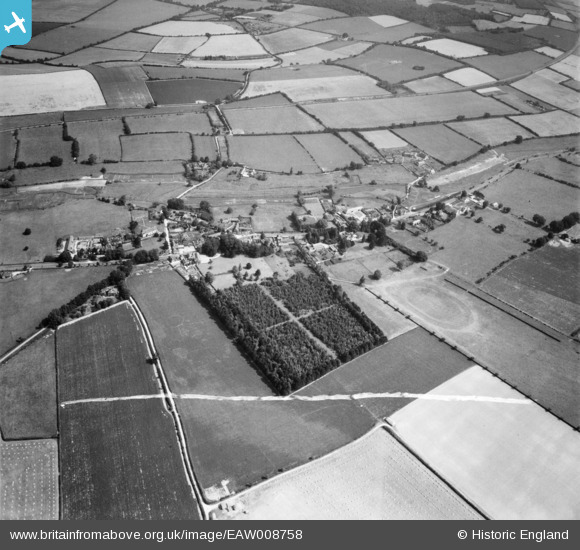
EAW008758 ENGLAND (1947). The village, Bishop's Sutton, 1947. This image was marked by Aerofilms Ltd for photo editing.
© Copyright OpenStreetMap contributors and licensed by the OpenStreetMap Foundation. 2026. Cartography is licensed as CC BY-SA.
Nearby Images (3)
EAW008758

EAW008770

EAW008768

Details
| Title | [EAW008758] The village, Bishop's Sutton, 1947. This image was marked by Aerofilms Ltd for photo editing. |
| Reference | EAW008758 |
| Date | 9-August-1947 |
| Link | |
| Place name | BISHOP'S SUTTON |
| Parish | BISHOPS SUTTON |
| District | |
| Country | ENGLAND |
| Easting / Northing | 460761, 131798 |
| Longitude / Latitude | -1.1324683425625, 51.081748710361 |
| National Grid Reference | SU608318 |
Pins
Be the first to add a comment to this image!