
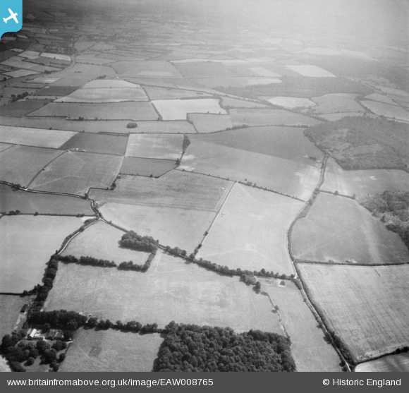
EAW008765 ENGLAND (1947). Fields around Cheriton Lane and Scrubbs Lane, Bishop's Sutton, 1947
© Copyright OpenStreetMap contributors and licensed by the OpenStreetMap Foundation. 2026. Cartography is licensed as CC BY-SA.
Nearby Images (2)
EAW008765

EAW008763

Details
| Title | [EAW008765] Fields around Cheriton Lane and Scrubbs Lane, Bishop's Sutton, 1947 |
| Reference | EAW008765 |
| Date | 9-August-1947 |
| Link | |
| Place name | BISHOP'S SUTTON |
| Parish | BISHOPS SUTTON |
| District | |
| Country | ENGLAND |
| Easting / Northing | 460382, 130435 |
| Longitude / Latitude | -1.1381066970397, 51.069532448009 |
| National Grid Reference | SU604304 |
Pins
Be the first to add a comment to this image!