
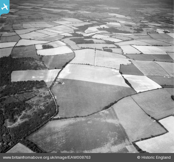
EAW008763 ENGLAND (1947). Fields around Cheriton Lane, Bishop's Sutton, 1947
© Copyright OpenStreetMap contributors and licensed by the OpenStreetMap Foundation. 2026. Cartography is licensed as CC BY-SA.
Nearby Images (3)
EAW008763

EAW008764

EAW008765

Details
| Title | [EAW008763] Fields around Cheriton Lane, Bishop's Sutton, 1947 |
| Reference | EAW008763 |
| Date | 9-August-1947 |
| Link | |
| Place name | BISHOP'S SUTTON |
| Parish | BISHOPS SUTTON |
| District | |
| Country | ENGLAND |
| Easting / Northing | 460614, 130286 |
| Longitude / Latitude | -1.1348205117254, 51.06816815733 |
| National Grid Reference | SU606303 |
Pins

ELK |
Thursday 19th of March 2026 09:08:43 PM |