
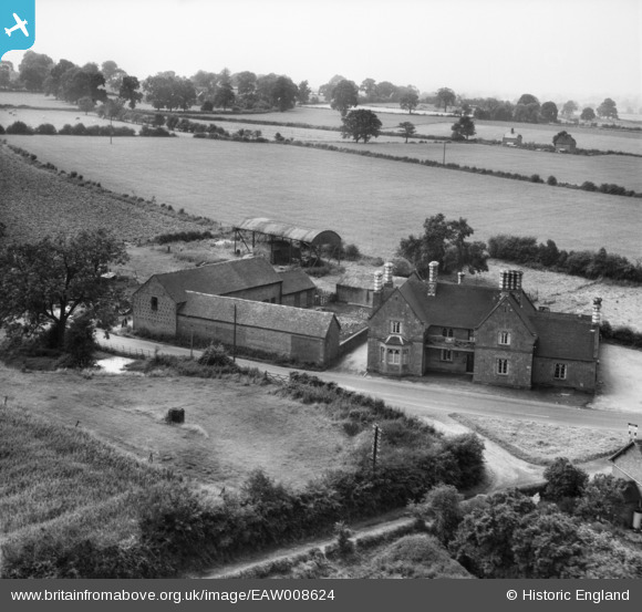
EAW008624 ENGLAND (1947). The Lamb Inn, Edgmond, 1947
© Copyright OpenStreetMap contributors and licensed by the OpenStreetMap Foundation. 2026. Cartography is licensed as CC BY-SA.
Nearby Images (9)
EAW008624

EAW008621

EAW008619

EAW006708

EAW008623

EAW008622

EAW008620

EAW006707

EAW006706

Details
| Title | [EAW008624] The Lamb Inn, Edgmond, 1947 |
| Reference | EAW008624 |
| Date | 1-August-1947 |
| Link | |
| Place name | EDGMOND |
| Parish | EDGMOND |
| District | |
| Country | ENGLAND |
| Easting / Northing | 372266, 319993 |
| Longitude / Latitude | -2.4111798744109, 52.776475756031 |
| National Grid Reference | SJ723200 |
Pins
Be the first to add a comment to this image!
User Comment Contributions
Wrekin Ales |

Andrew Bennett |
Tuesday 6th of May 2014 12:19:05 AM |