
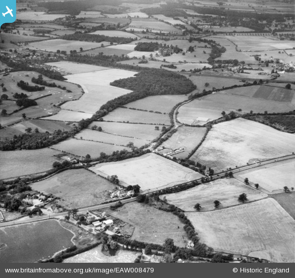
EAW008479 ENGLAND (1947). Bulls Lane and Peplin's Wood, Bell Bar, 1947
© Copyright OpenStreetMap contributors and licensed by the OpenStreetMap Foundation. 2026. Cartography is licensed as CC BY-SA.
Nearby Images (3)
EAW008479

EAW008461

EAW008462

Details
| Title | [EAW008479] Bulls Lane and Peplin's Wood, Bell Bar, 1947 |
| Reference | EAW008479 |
| Date | 31-July-1947 |
| Link | |
| Place name | BELL BAR |
| Parish | NORTH MYMMS |
| District | |
| Country | ENGLAND |
| Easting / Northing | 524771, 205267 |
| Longitude / Latitude | -0.1930556670393, 51.73175542156 |
| National Grid Reference | TL248053 |
Pins
Be the first to add a comment to this image!