
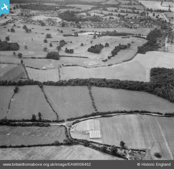
EAW008462 ENGLAND (1947). Bulls Lane and Brookmans Park Golf Course, Brookmans Park, 1947
© Copyright OpenStreetMap contributors and licensed by the OpenStreetMap Foundation. 2026. Cartography is licensed as CC BY-SA.
Nearby Images (3)
EAW008462

EAW008463

EAW008479

Details
| Title | [EAW008462] Bulls Lane and Brookmans Park Golf Course, Brookmans Park, 1947 |
| Reference | EAW008462 |
| Date | 31-July-1947 |
| Link | |
| Place name | BROOKMANS PARK |
| Parish | NORTH MYMMS |
| District | |
| Country | ENGLAND |
| Easting / Northing | 524634, 205025 |
| Longitude / Latitude | -0.19512530949775, 51.729610882475 |
| National Grid Reference | TL246050 |
Pins
Be the first to add a comment to this image!