
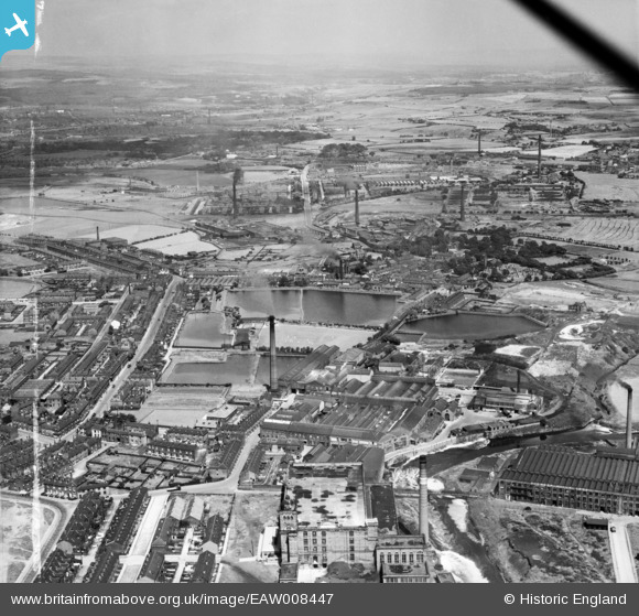
EAW008447 ENGLAND (1947). The East Lancashire Paper Mill, Radcliffe, from the south-west, 1947. This image was marked by Aerofilms Ltd for photo editing.
© Copyright OpenStreetMap contributors and licensed by the OpenStreetMap Foundation. 2026. Cartography is licensed as CC BY-SA.
Nearby Images (4)
EAW008447

EAW008442

EPW047485

EAW008445

Details
| Title | [EAW008447] The East Lancashire Paper Mill, Radcliffe, from the south-west, 1947. This image was marked by Aerofilms Ltd for photo editing. |
| Reference | EAW008447 |
| Date | 22-July-1947 |
| Link | |
| Place name | RADCLIFFE |
| Parish | |
| District | |
| Country | ENGLAND |
| Easting / Northing | 379092, 407321 |
| Longitude / Latitude | -2.3156903605122, 53.561846938335 |
| National Grid Reference | SD791073 |
