
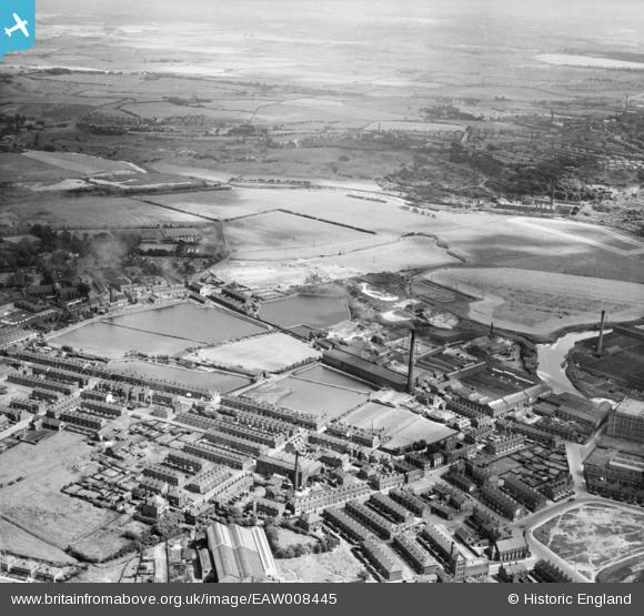
EAW008445 ENGLAND (1947). The East Lancashire Paper Mill, Radcliffe, from the north-west, 1947
© Copyright OpenStreetMap contributors and licensed by the OpenStreetMap Foundation. 2026. Cartography is licensed as CC BY-SA.
Nearby Images (4)
EAW008445

EAW008442

EPW047485

EAW008447

Details
| Title | [EAW008445] The East Lancashire Paper Mill, Radcliffe, from the north-west, 1947 |
| Reference | EAW008445 |
| Date | 22-July-1947 |
| Link | |
| Place name | RADCLIFFE |
| Parish | |
| District | |
| Country | ENGLAND |
| Easting / Northing | 379079, 407548 |
| Longitude / Latitude | -2.3159018476321, 53.563886975409 |
| National Grid Reference | SD791075 |
Pins

K |
Tuesday 3rd of May 2016 11:51:50 PM | |
|
boltie |
Tuesday 12th of August 2014 01:52:55 AM | |
|
boltie |
Saturday 14th of December 2013 12:19:09 PM |