
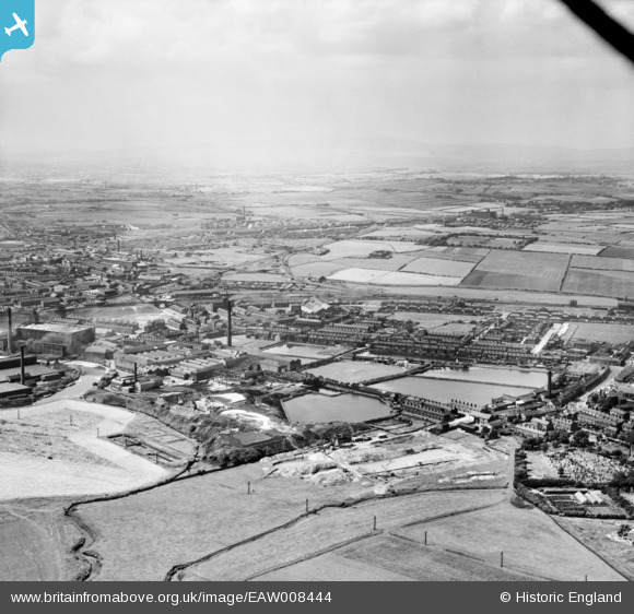
EAW008444 ENGLAND (1947). The East Lancashire Paper Mill, Radcliffe, from the south-east, 1947
© Copyright OpenStreetMap contributors and licensed by the OpenStreetMap Foundation. 2025. Cartography is licensed as CC BY-SA.
Nearby Images (3)
EAW008444

EAW008449

EAW008443

Details
| Title | [EAW008444] The East Lancashire Paper Mill, Radcliffe, from the south-east, 1947 |
| Reference | EAW008444 |
| Date | 22-July-1947 |
| Link | |
| Place name | RADCLIFFE |
| Parish | |
| District | |
| Country | ENGLAND |
| Easting / Northing | 379553, 407371 |
| Longitude / Latitude | -2.308733096135, 53.562314566969 |
| National Grid Reference | SD796074 |
Pins

John Hazard |
Sunday 18th of January 2015 02:03:27 AM |