
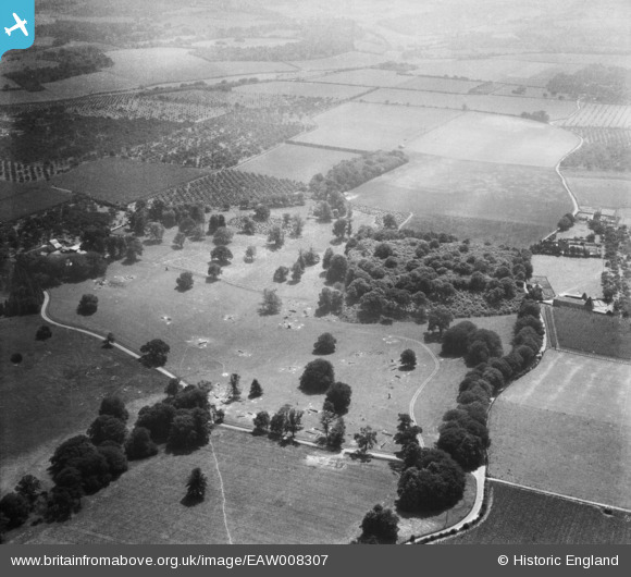
EAW008307 ENGLAND (1947). Parkland at Home Farm, Woodstock, 1947
© Copyright OpenStreetMap contributors and licensed by the OpenStreetMap Foundation. 2026. Cartography is licensed as CC BY-SA.
Nearby Images (9)
EAW008307

EAW008302

EAW008304

EAW008295

EAW008310

EAW008298

EAW008297

EAW008308

EAW008300

Details
| Title | [EAW008307] Parkland at Home Farm, Woodstock, 1947 |
| Reference | EAW008307 |
| Date | 15-July-1947 |
| Link | |
| Place name | WOODSTOCK |
| Parish | TUNSTALL |
| District | |
| Country | ENGLAND |
| Easting / Northing | 589839, 160797 |
| Longitude / Latitude | 0.72434591132335, 51.314061528583 |
| National Grid Reference | TQ898608 |
Pins

User Comment Contributions
Thanks everyone for looking at these! We'll update the catalogue and post the new data here in due course. Yours, Katy Britain from Above Cataloguing Team Leader |
Katy Whitaker |
Tuesday 7th of January 2014 01:14:20 PM |
Well done Class31, I just found this too, tricky one as the park is right on the corner of four maps and I didn't recognise the shape till now |

TomRobin |
Friday 8th of November 2013 08:48:20 PM |
In the set EAW008294, EAW008296 - EAW008308, EAW008310 - EAW008311, EAW008313. All taken in same area with oast houses and orchards. Kent? |
Rebecca |
Monday 4th of November 2013 02:03:11 PM |