
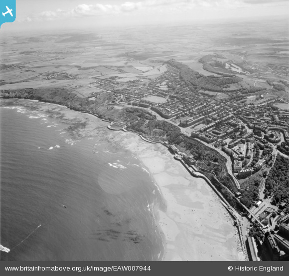
EAW007944 ENGLAND (1947). South Cliff and Wheatcroft, Scarborough, from the north-east, 1947
© Copyright OpenStreetMap contributors and licensed by the OpenStreetMap Foundation. 2026. Cartography is licensed as CC BY-SA.
Nearby Images (5)
EAW007944

EAW016691

EAW007947

EAW007945

EPW038936

Details
| Title | [EAW007944] South Cliff and Wheatcroft, Scarborough, from the north-east, 1947 |
| Reference | EAW007944 |
| Date | 26-June-1947 |
| Link | |
| Place name | SCARBOROUGH |
| Parish | |
| District | |
| Country | ENGLAND |
| Easting / Northing | 504750, 487895 |
| Longitude / Latitude | -0.39109763090701, 54.275795871267 |
| National Grid Reference | TA048879 |
Pins

redmist |
Monday 9th of March 2020 08:01:58 PM | |
|
Chris Kolonko |
Tuesday 2nd of January 2018 06:06:55 PM | |
|
PEELIAS |
Sunday 1st of March 2015 02:15:27 PM |