
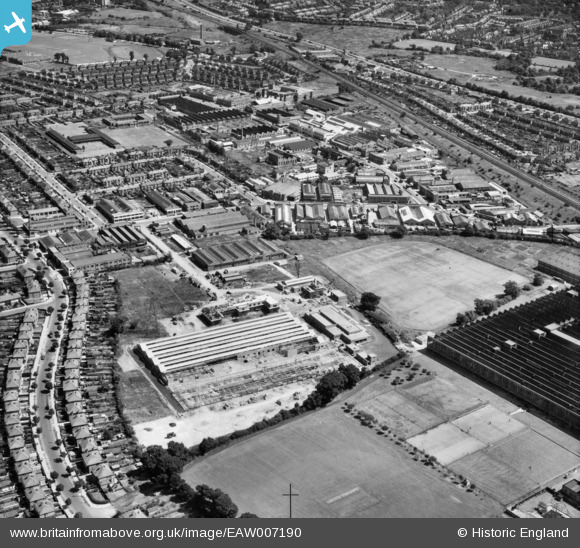
EAW007190 ENGLAND (1947). The Perivale Industrial Park, Perivale, 1947
© Copyright OpenStreetMap contributors and licensed by the OpenStreetMap Foundation. 2026. Cartography is licensed as CC BY-SA.
Nearby Images (22)
EAW007190

EAW007192

EAW004297

EAW004298

EAW007187

EAW007186

EAW004302

EPR000600

EAW004296

EAW004303

EPW060624

EPW060625

EPW060621

EPW060619

EPW060622

EAW004299

EPW060620

EPW043713

EPW060623

EPW029367

EPW043716

EAW004300

Details
| Title | [EAW007190] The Perivale Industrial Park, Perivale, 1947 |
| Reference | EAW007190 |
| Date | June-1947 |
| Link | |
| Place name | PERIVALE |
| Parish | |
| District | |
| Country | ENGLAND |
| Easting / Northing | 516794, 183516 |
| Longitude / Latitude | -0.31578225205685, 51.537967960209 |
| National Grid Reference | TQ168835 |
Pins
Be the first to add a comment to this image!