
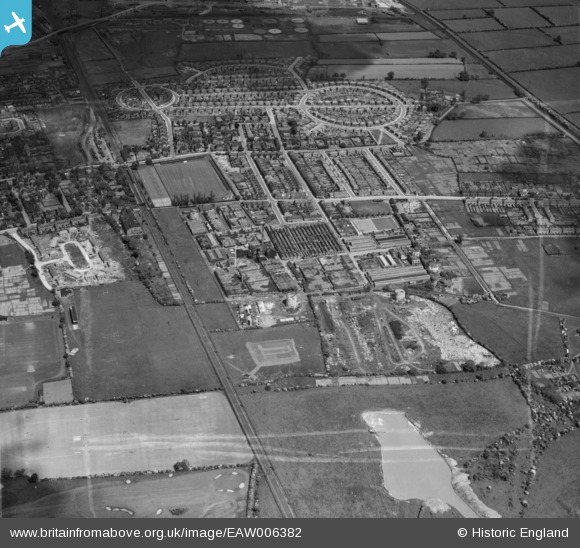
EAW006382 ENGLAND (1947). The Ericsson Telephone Works and the surrounding residential area, Rylands, 1947. This image was marked by Aerofilms Ltd for photo editing.
© Copyright OpenStreetMap contributors and licensed by the OpenStreetMap Foundation. 2026. Cartography is licensed as CC BY-SA.
Nearby Images (31)
EAW006382

EAW006376

EPW053166

EAW004244

EAW005004

EAW004249

EAW006377

EPW052424

EPW052431

EPW053164

EAW004242

EAW006383

EPW053168

EAW006380

EAW005005

EPW053167

EAW006381

EAW012085

EAW006378

EPW053169

EAW004247

EAW006379

EAW004248

EAW005001

EAW004243

EAW005000

EAW004245

EAW004246

EAW012084

EPW053165

EAW005006

Details
| Title | [EAW006382] The Ericsson Telephone Works and the surrounding residential area, Rylands, 1947. This image was marked by Aerofilms Ltd for photo editing. |
| Reference | EAW006382 |
| Date | 27-May-1947 |
| Link | |
| Place name | RYLANDS |
| Parish | |
| District | |
| Country | ENGLAND |
| Easting / Northing | 453274, 335848 |
| Longitude / Latitude | -1.2076071521891, 52.91708953858 |
| National Grid Reference | SK533358 |
Pins
Be the first to add a comment to this image!