
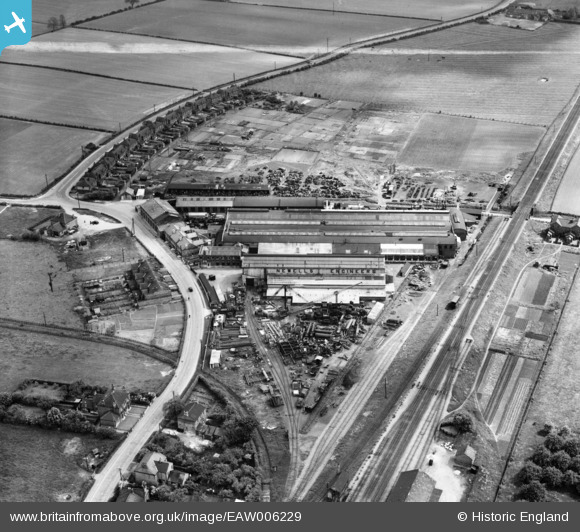
EAW006229 ENGLAND (1947). Newells Engineering Works, Misterton, 1947. This image was marked by Aerofilms Ltd for photo editing.
© Copyright OpenStreetMap contributors and licensed by the OpenStreetMap Foundation. 2026. Cartography is licensed as CC BY-SA.
Nearby Images (9)
EAW006229

EAW006223

EAW006221

EAW006228

EAW006225

EAW006227

EAW006222

EAW006224

EAW006226

Details
| Title | [EAW006229] Newells Engineering Works, Misterton, 1947. This image was marked by Aerofilms Ltd for photo editing. |
| Reference | EAW006229 |
| Date | 25-May-1947 |
| Link | |
| Place name | MISTERTON |
| Parish | MISTERTON |
| District | |
| Country | ENGLAND |
| Easting / Northing | 477726, 393941 |
| Longitude / Latitude | -0.82985466830264, 53.436253440532 |
| National Grid Reference | SK777939 |
Pins

Sparky |
Tuesday 3rd of October 2017 11:55:33 PM | |

MB |
Friday 8th of November 2013 10:39:35 PM | |
|
MB |
Friday 8th of November 2013 10:38:30 PM | |
|
MB |
Friday 8th of November 2013 10:36:47 PM | |
|
MB |
Friday 8th of November 2013 10:29:27 PM |
User Comment Contributions
Our house |
Jon |
Thursday 13th of March 2014 07:23:51 PM |