
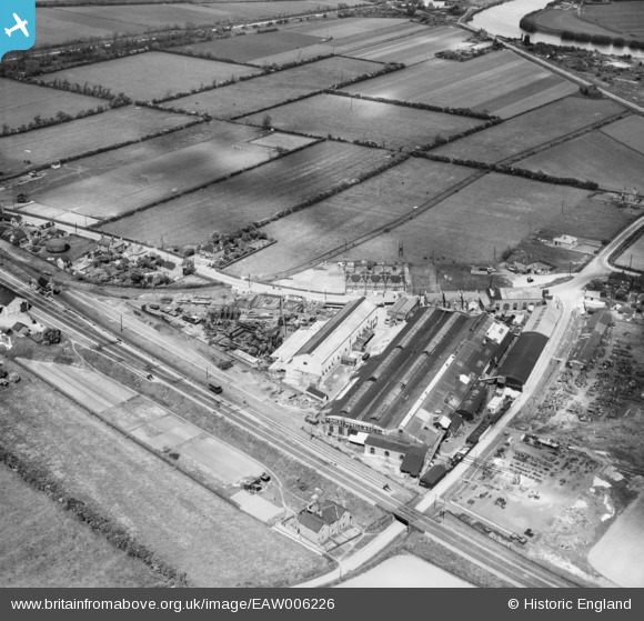
EAW006226 ENGLAND (1947). Newells Engineering Works, Misterton, 1947
© Copyright OpenStreetMap contributors and licensed by the OpenStreetMap Foundation. 2026. Cartography is licensed as CC BY-SA.
Nearby Images (9)
EAW006226

EAW006222

EAW006227

EAW006228

EAW006225

EAW006221

EAW006223

EAW006229

EAW006224

Details
| Title | [EAW006226] Newells Engineering Works, Misterton, 1947 |
| Reference | EAW006226 |
| Date | 25-May-1947 |
| Link | |
| Place name | MISTERTON |
| Parish | MISTERTON |
| District | |
| Country | ENGLAND |
| Easting / Northing | 477747, 394019 |
| Longitude / Latitude | -0.82951932488579, 53.436951382689 |
| National Grid Reference | SK777940 |
Pins

MB |
Friday 8th of November 2013 10:48:13 PM |