
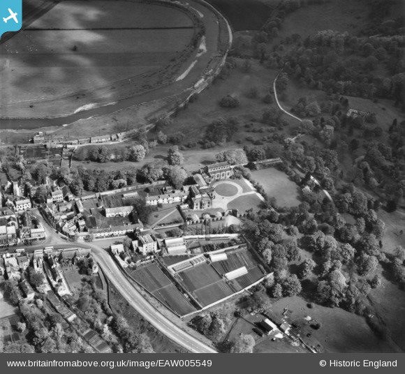
EAW005549 ENGLAND (1947). Auckland Castle and environs, Bishop Auckland, 1947. This image has been produced from a print.
© Copyright OpenStreetMap contributors and licensed by the OpenStreetMap Foundation. 2026. Cartography is licensed as CC BY-SA.
Nearby Images (4)
EAW005549

EAW005548

EAW005552

EAW005553

Details
| Title | [EAW005549] Auckland Castle and environs, Bishop Auckland, 1947. This image has been produced from a print. |
| Reference | EAW005549 |
| Date | 17-May-1947 |
| Link | |
| Place name | BISHOP AUCKLAND |
| Parish | BISHOP AUCKLAND |
| District | |
| Country | ENGLAND |
| Easting / Northing | 421366, 530236 |
| Longitude / Latitude | -1.66870024426, 54.666636820945 |
| National Grid Reference | NZ214302 |
Pins
Be the first to add a comment to this image!