
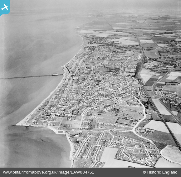
EAW004751 ENGLAND (1947). The town and the surrounding coastline, Herne Bay, from the west, 1947
© Copyright OpenStreetMap contributors and licensed by the OpenStreetMap Foundation. 2026. Cartography is licensed as CC BY-SA.
Nearby Images (2)
EAW004751

EAW004750

Details
| Title | [EAW004751] The town and the surrounding coastline, Herne Bay, from the west, 1947 |
| Reference | EAW004751 |
| Date | 26-April-1947 |
| Link | |
| Place name | HERNE BAY |
| Parish | |
| District | |
| Country | ENGLAND |
| Easting / Northing | 615792, 167749 |
| Longitude / Latitude | 1.1004563613833, 51.367238516505 |
| National Grid Reference | TR158677 |
Pins

jason |
Wednesday 16th of August 2023 10:22:21 AM | |

Sparky |
Monday 10th of December 2018 10:21:30 PM | |
|
Sparky |
Monday 10th of December 2018 10:19:09 PM | |
|
Sparky |
Wednesday 23rd of August 2017 11:53:11 PM | |
|
Sparky |
Wednesday 23rd of August 2017 11:52:22 PM | |
|
frankandkay |
Saturday 11th of January 2014 03:19:54 PM |
User Comment Contributions
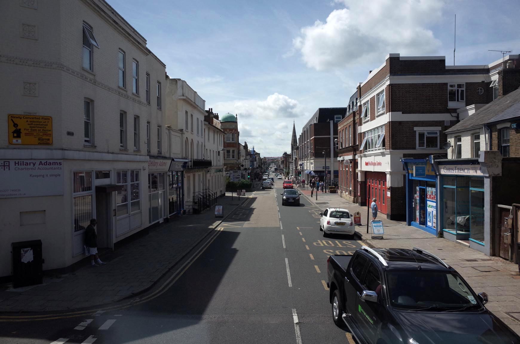
Herne Bay High Street 2014 |

Alan McFaden |
Thursday 20th of November 2014 10:02:56 PM |
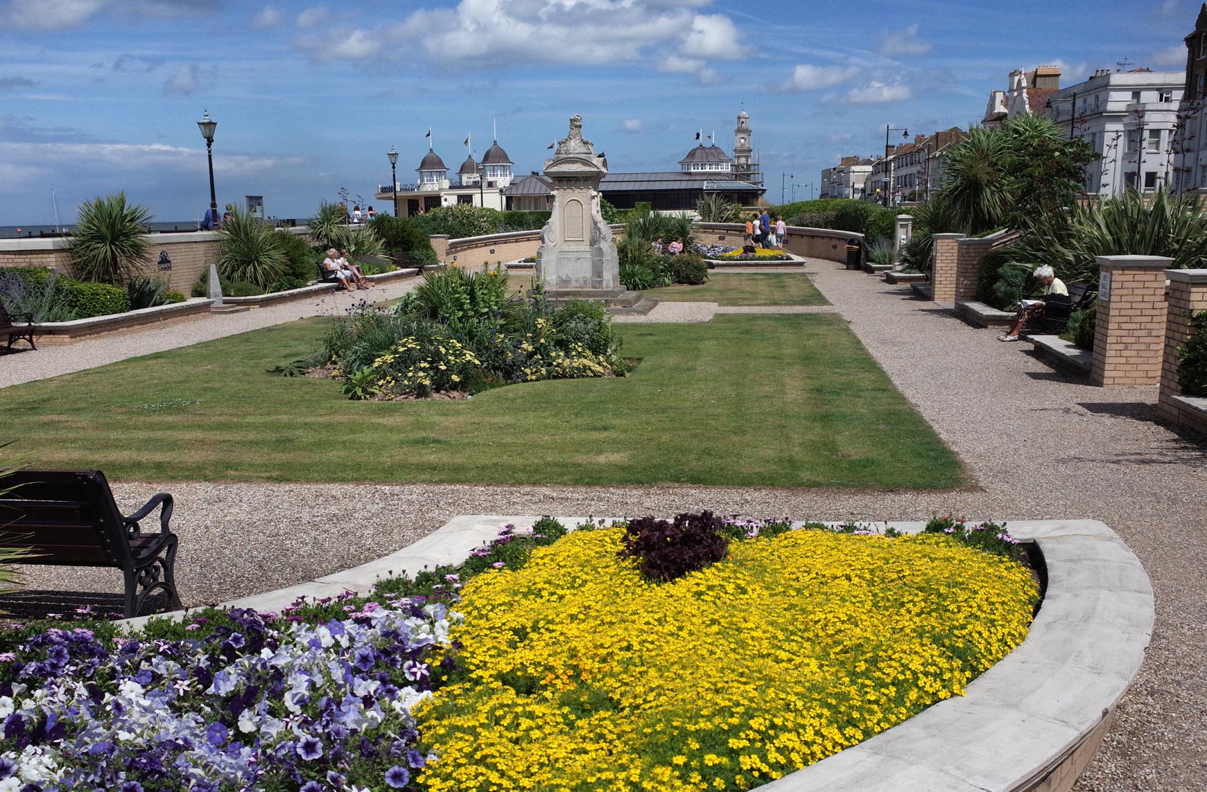
Herne Bay Waltrop Gardens 2014 |
Alan McFaden |
Thursday 20th of November 2014 10:02:32 PM |
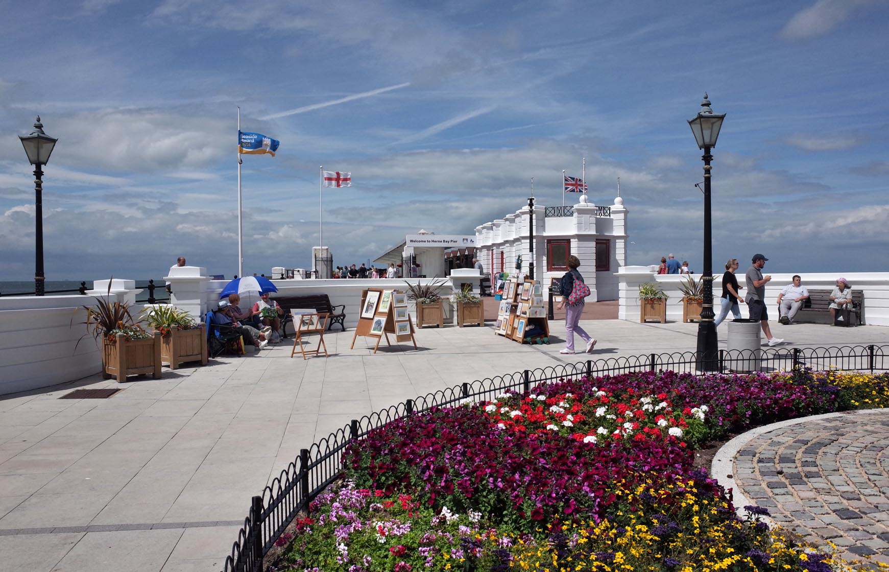
Herne Bay Seafront 2014 |
Alan McFaden |
Thursday 20th of November 2014 10:02:00 PM |
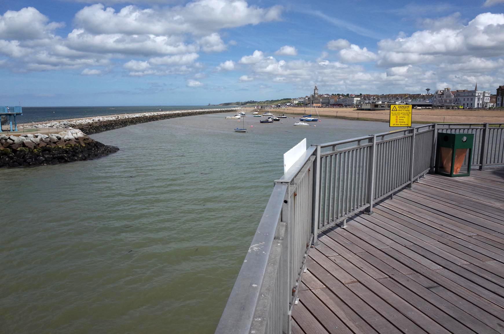
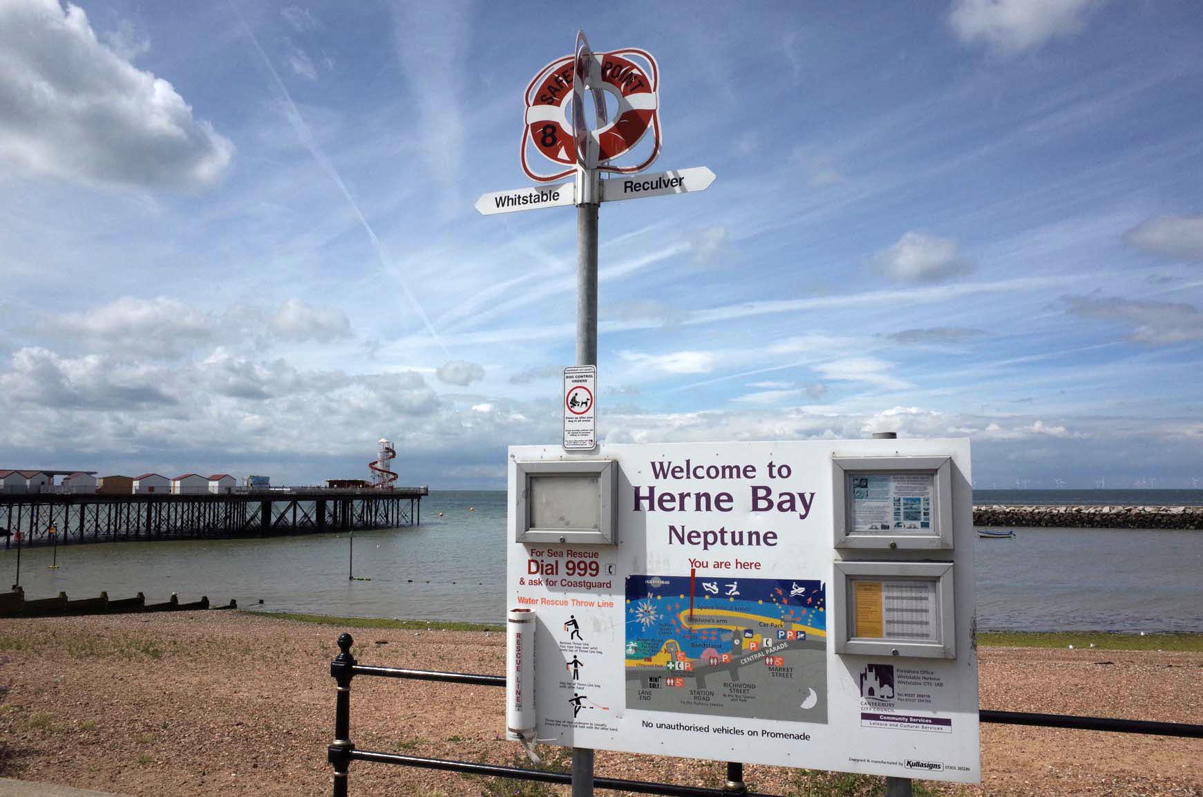
The View from Herne Bay Pier 2014 |
Alan McFaden |
Thursday 20th of November 2014 10:00:31 PM |
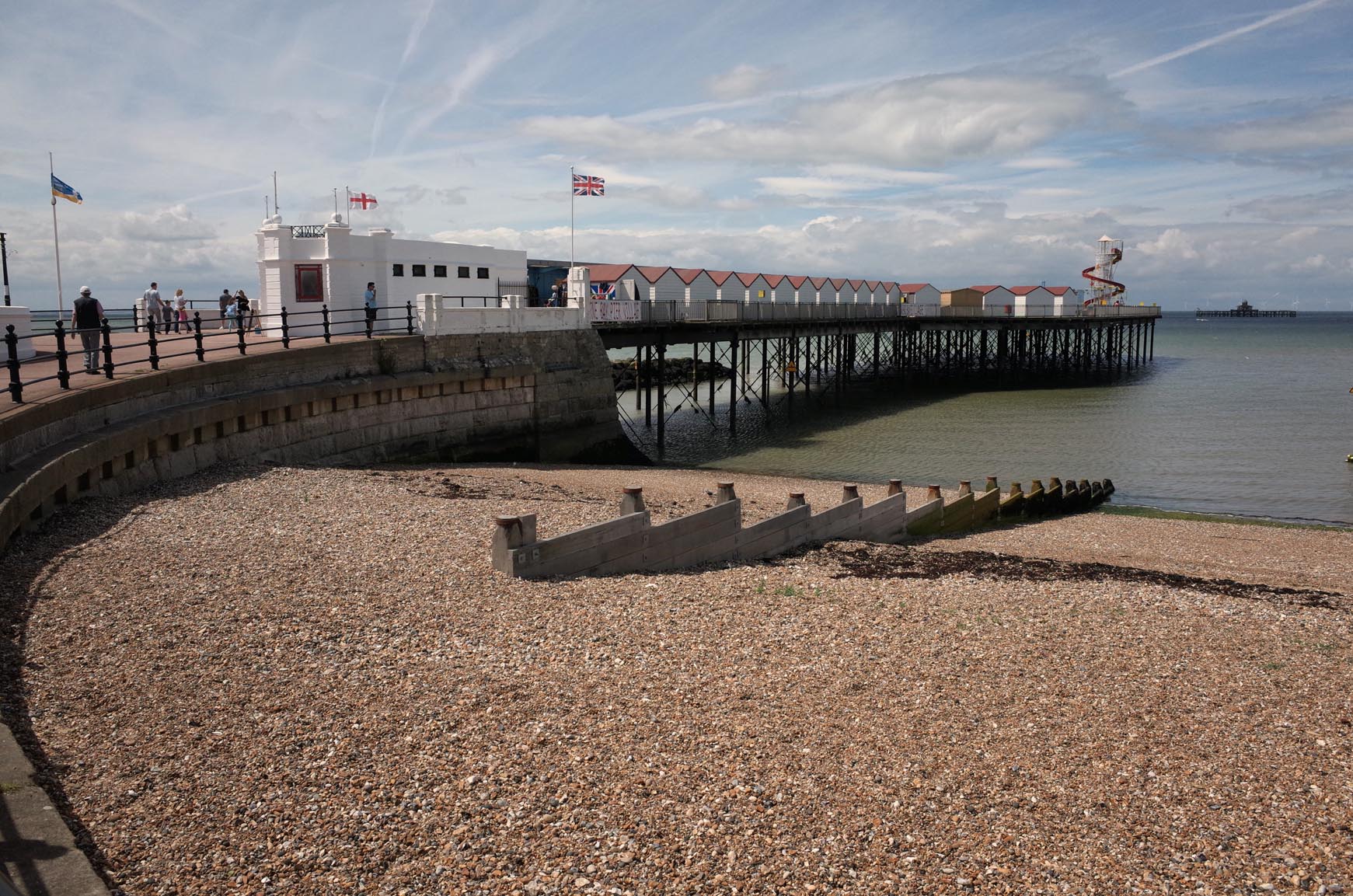
Herne Bay Pier 2014 |
Alan McFaden |
Thursday 20th of November 2014 09:59:52 PM |
Herne Bay Pier 2014 |
Alan McFaden |
Thursday 20th of November 2014 09:59:29 PM |