
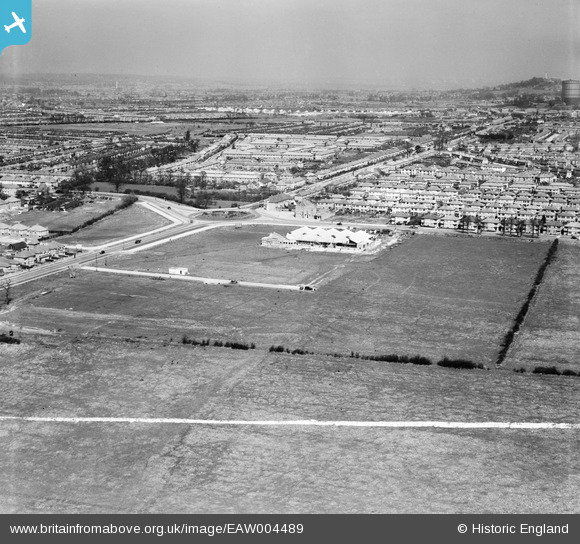
EAW004489 ENGLAND (1947). Roundabout at the junction of Victoria Road and Field End Road and environs, South Ruislip, from the south-west, 1947. This image was marked by Aerofilms Ltd for photo editing.
© Copyright OpenStreetMap contributors and licensed by the OpenStreetMap Foundation. 2026. Cartography is licensed as CC BY-SA.
Nearby Images (2)
EAW004489

EAW004490

Details
| Title | [EAW004489] Roundabout at the junction of Victoria Road and Field End Road and environs, South Ruislip, from the south-west, 1947. This image was marked by Aerofilms Ltd for photo editing. |
| Reference | EAW004489 |
| Date | 14-April-1947 |
| Link | |
| Place name | SOUTH RUISLIP |
| Parish | |
| District | |
| Country | ENGLAND |
| Easting / Northing | 512198, 185493 |
| Longitude / Latitude | -0.3813988298362, 51.556671348726 |
| National Grid Reference | TQ122855 |
Pins

pete |
Thursday 2nd of July 2020 05:43:32 PM | |
|
The Laird |
Thursday 3rd of March 2016 06:19:54 PM | |
|
southallboy |
Saturday 24th of May 2014 11:32:04 AM |